What is recorded here
Four decades of human life may have turned the clay into a home before ploughs and forgetting took it back. The fort stood forty-eight metres wide on a grassy rise, large enough for herds, children and argument. Two banks and two ditches still mark its southern arc, but the northern edge has vanished into field and rain. What remained is a bruise in the land, wide enough to remember and thin enough to overlook.
On a rise in otherwise level grassland. Very poorly preserved originally circular rath (D c. 48m) defined by two banks and two fosses from E through S to SW. A field bank cuts the monument at E and SW, and no visible surface trace of the enclosing elements survives to NW of it.
The above description is derived from the published 'Archaeological Inventory of County Galway Vol. II - North Galway'. Compiled by Olive Alcock, Kathy de hÓra and Paul Gosling (Dublin: Stationery Office, 1999).
Date of upload: 05 August 2010
The monument record does not grant public access. Check the route and ask the landowner before entering private land.
- What survives
- Recorded monument
Places near here
 Field system in Clashaganny (dunmore By.),kilphrasogaField system · 501 yd
 Bawn in Kilcloony (dunmore By.)Bawn · 738 yd
 Cross in Kilcloony (dunmore By.)Cross · 1094 yd
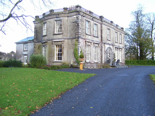 Quarrymount Househouse · 1230 yd
 IndicatedHouse, indeterminate date · 1.4 mi
 Fartamore Castle in ruinsCastle, tower house · 1.7 mi
 European ashEuropean ash · 3.4 mi
 Mass RockNamed rock · 4.8 mi
 KnockmaaWood · 8.2 mi
 Otter IslandIslet · 16 mi
 Enclosure in Kilcloony (clonmacnowen By.),quarrymountEnclosure · 1422 yd
 Enclosure in Dawros LowerEnclosure · 1.4 mi