
What is recorded here
On a rise in farmland. A series of earthworks cover an area of c. 200m N-S by c. 150m E-W, and straddle a NE-SW flowing stream. On W bank of the stream, just W of an enclosure (GA016-038001-), is a deep linear fosse (L 100m), up to 2.5m in depth, running N-S. Immediately to W of it is a possible roadway (L c. 200, Wth 6.5m) flanked by earthen banks. This also follows a N-S axis, approaching the stream at its S end. On E bank, two rectangular enclosures are visible, possibly small fields.
The above description is derived from the published 'Archaeological Inventory of County Galway Vol. II - North Galway'. Compiled by Olive Alcock, Kathy de hÓra and Paul Gosling (Dublin: Stationery Office, 1999).
Date of upload: 05 August 2010
The monument record does not grant public access. Check the route and ask the landowner before entering private land.
- What survives
- Recorded monument
Places near here
 Bawn in Kilcloony (dunmore By.)Bawn · 791 yd
 Cross in Kilcloony (dunmore By.)Cross · 893 yd
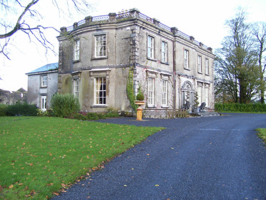 Quarrymount Househouse · 1393 yd
 Enclosure in Kilcloony (clonmacnowen By.),quarrymountEnclosure · 1418 yd
 IndicatedHouse, indeterminate date · 1.6 mi
 Fartamore Castle in ruinsCastle, tower house · 1.8 mi
 European ashEuropean ash · 3.2 mi
 Mass RockNamed rock · 4.7 mi
 KnockmaaWood · 8.1 mi
 Kilcoona Round TowerHeritage attraction · 12 mi
 Enclosure in Dawros LowerEnclosure · 1.6 mi
 Enclosure in Grange (doonbally Ed)Enclosure · 1.6 mi
Other information
Photo: Credit not shown in the picture search · Rights wording not checked; contact us if this picture should be removed