What is recorded here
Fairy forts are often called fairy forts because people believed fairies lived there, but this is an earthen ringfort in flat Offaly countryside. Its oval platform is twenty-two metres long, surrounded by a two-metre bank and a shallow outer ditch. The southern causeway is three and a half metres wide, still clear enough to walk through. The western bank rises two-point-two metres, the highest part remaining. The shape is not a mistake. It is a made place, built to be entered, defended and remembered.
Situated on level ground in flat countryside. Raised oval shaped platform (diam 22m N-S; 15m E-W) enclosed by an earthen bank (Wth 2m; ext. H 2.2m max. at N) and external fosse (Wth 2.5m; ext. D 1m) best preserved at W with causeway entrance (Wth 3.5m) at S.
The above description is derived from the published 'Archaeological Inventory of County Offaly' (Dublin: Stationery Office, 1997). In certain instances the entries have been revised and updated in the light of recent research.
Date of upload: 23 May 2011
The monument record does not grant public access. Check the route and ask the landowner before entering private land.
- What survives
- Recorded monument
Places near here
 Dotted lineBawn · 927 yd
 CastleCastle, motte · 1184 yd
 Enclosure in CastleroanEnclosure · 1559 yd
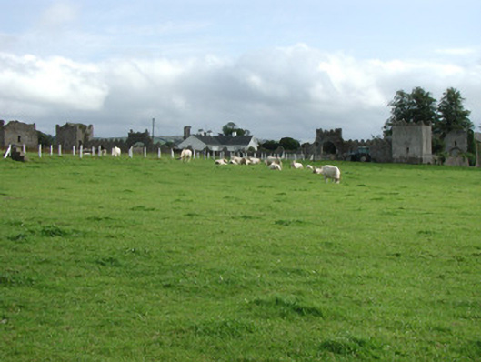 Franckfort Castlecountry house · 1697 yd
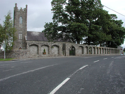 Dunkerrin Churchchurch/chapel · 1.0 mi
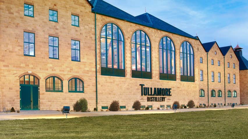 DunkerrinSettlement deserted, medieval · 1.0 mi
 Longford WoodForest · 3.1 mi
 Coolock WoodForest · 3.2 mi
 BenduffMountain / peak · 4.1 mi
 Roscrea Petty Sessions HouseHeritage attraction · 4.4 mi
 Eagle HillMountain / peak · 4.8 mi
 Thomas MacDonagh Heritage CentreMuseum · 6.7 mi