What is recorded here
Situated on a prominent rise, in gently undulating pasture, with good views in all directions. Bivallate monument described in the 1970s as a roughly circular-shaped area (diam. 25m) enclosed by an inner bank, an intervening berm and an outer bank. The inner and outer banks are both low and they are not concentric. They are separated by an intervening berm measuring approx. 6-12m. The original entrance is not visible. The interior is generally even with a gentle SSE-facing slope and a slight stony outcrop in the centre. A townland boundary encircles the monument from NE-S.
Compiled by Alison McQueen, Vera Rahilly and Caimin O’Brien.
Date of upload: 27 August 2019
The monument record does not grant public access. Check the route and ask the landowner before entering private land.
- What survives
- Recorded monument
Places near here
 Hut site in ClareHut site · 571 yd
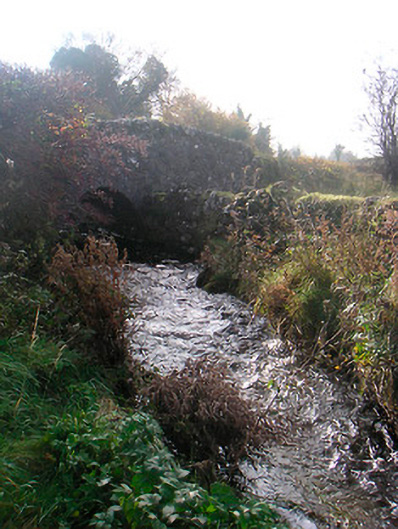 bridgebridge · 1275 yd
 CaveMan-made underground passage · 1297 yd
 Bawn in ClareBawn · 1373 yd
 wellwell · 1507 yd
 Bishopstown Castle in ruinsCastle, unclassified · 1623 yd
 Japanese pagoda treeJapanese pagoda tree · 1.3 mi
 Sam's ParkForest · 1.6 mi
 KnockastiaMountain / peak · 1.6 mi
 Charles BianconiMemorial · 5.8 mi
 Moate HillMountain / peak · 5.9 mi
 Dún na Sí Heritage CentreMuseum · 5.9 mi