What is recorded here
Fairy forts and earthen ringforts mark ancient human settlement, ritual or defence across the British Isles. They are not proven fairy dwellings, although local legend often claims that role.
There is now no visible trace of the circular enclosure marked on the OS maps. It was sited in a fairly level pasture field about 100m N of KE035-059---- and 250m NW of KE035-060----. Curran (no.12) described the site as a lios, 100 feet (c. 30.5m) in diameter, with traces of 2 clochauns in the interior. He was informed that a rude quern stone had been found within. Local information suggests that there was a Man-made underground passage at the site.
The above description is derived from J. Cuppage, ‘Corca Dhuibhne. Dingle Peninsula archaeological survey. Ballyferriter. Oidhreacht Chorca Dhuibhne’ (1986), no. 710. In certain instances the entries have been revised and updated in the light of recent research.
Date of upload: 7 August 2013
This remains an important historical record, but the official description says the monument is no longer visible or has been destroyed. The monument record does not grant public access. Check the route and ask the landowner before entering private land.
- What survives
- No visible remains or recorded as destroyed
Places near here
 Man-made underground passage in Cill Mhuire (tc An Baile Dubh)Man-made underground passage · 1 yd
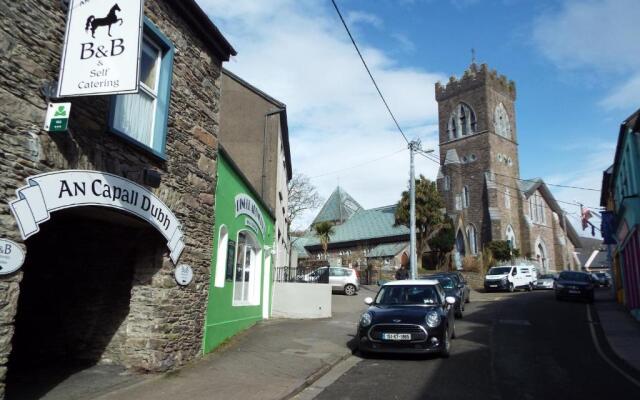 Hut site in Cill Mhuire (tc An Baile Dubh)Hut site · 144 yd
 Church in Cill An UrdráinChurch · 1293 yd
 Drom BeachBeach / strand · 1.0 mi
 Séipéal Bhréanainn [Saint Brendan's Catholic Church]church/chapel · 1.2 mi
 An t'Oileán DubhIslet · 1.7 mi
 Site of CastleCastle, unclassified · 1.7 mi
 An CheapaighBeach / strand · 1.8 mi
 Hillville WoodWood · 2.0 mi
 Sliabh na nGabharMountain / peak · 2.0 mi
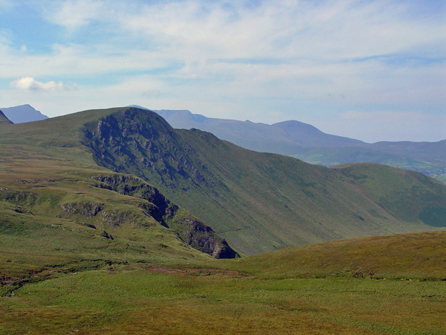 Gob an IolairMountain / peak · 2.1 mi
 Pointe na CathrachHeadland · 2.7 mi