What is recorded here
Mortons and others still call it a fairy fort, but measure a human ringfort: twenty-four metres across, a scarped bank one metre high, a narrow causeway entrance at the north, and a shallow fosse four metres wide. Trees have grown along the outer edge until the whole circle looks like a green room set into pasture. Whatever lived inside has stopped leaving marks, yet the shape remains exact enough to suggest people once drew a line around their own world and told the rest of the field to keep out.
In level pasture. Circular area (24.2m N-S; 24.5m E-W) defined by a scarped edge (H 1.15m; Wth 1.7m) with an external fosse (D 0.4m; Wth 4.75m). Causeway entrance (Wth 1.7m) at N. Intermittent stone revetting at base of scarped on W side. A ring of mature deciduous trees grow along outer edge of fosse. Interior is level and covered by overgrowth.
Compiled by: Denis Power
Date of upload: 26 August 2011
The monument record does not grant public access. Check the route and ask the landowner before entering private land.
- What survives
- Recorded monument
Places near here
 Churchtown Housecountry house · 88 yd
 bridgebridge · 642 yd
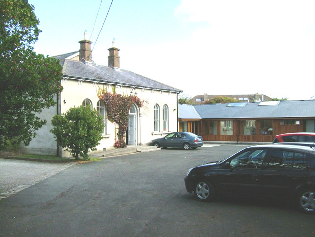 Enclosure in ChurchtownEnclosure · 828 yd
 Burial GroundGraveyard · 1261 yd
 Templars Castle (in ruins)Castle, Anglo-Norman masonry castle · 1.2 mi
 CahermoyleCastle, unclassified · 2.9 mi
 St. Luke's WellSpring · 3.1 mi
 Limerick GreenwayWalking route · 3.3 mi
 St. Kieran's WellSpring · 4.1 mi
 European ashEuropean ash · 4.7 mi
 Sugar HillMountain / peak · 4.8 mi
 Ballagh MountainMountain / peak · 7.0 mi