What is recorded here
Fairy forts hide inside ordinary fields, but this one in Churchtown vanished completely. A thirty-five metre circular enclosure stood on the ridge in 1924, yet repeated ploughing and a disused railway track erased even its shadow. The grass still holds shallow, meaningless dips where a boundary or entrance may have cut the earth. People forgot the shape, but the land remembers the weight of forgetting.
In level pasture, on crest of broad low ridge. Monument, depicted on 1924 OS 6-inch map as embanked circular enclosure (diam. c. 35m), has been levelled. No trace of monument evident when inspected though area has many irregular undulations. Disused railway track truncates line of fosse at S. Field boundaries in vicinity of site have been removed.
Compiled by: Denis Power
Date of upload: 26 August 2011
See attached ASI aerial photographs ASIAP – taken on 04/03/2006.
The monument record does not grant public access. Check the route and ask the landowner before entering private land.
- What survives
- Recorded monument
Places near here
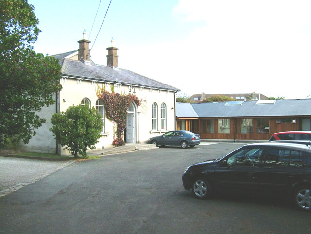 Enclosure in ChurchtownEnclosure · 255 yd
 bridgebridge · 260 yd
 Dooally Bridgebridge · 589 yd
 Burial GroundGraveyard · 731 yd
 Templars Castle (in ruins)Castle, Anglo-Norman masonry castle · 1617 yd
 Limerick GreenwayWalking route · 3.1 mi
 CahermoyleCastle, unclassified · 3.2 mi
 St. Luke's WellSpring · 3.4 mi
 St. Kieran's WellSpring · 4.4 mi
 Sugar HillMountain / peak · 4.5 mi
 European ashEuropean ash · 5.0 mi
 Ballagh MountainMountain / peak · 6.7 mi