What is recorded here
Fairy fort / earthen ringfort in Charlestown is a fairy fort or earthen ringfort in Charlestown, County Roscommon, Ireland. It occupies a circular area twenty-seven metres across at the western edge of a low shelf, with a section of the River Shannon flowing one hundred metres to the north. Slight banks mark the northern and southern edges, traces of a fosse appear along the southeast, and a scarp defines the remaining boundary. Mature coniferous trees within a forest now cover the site.
Marked only on the 1914 ed. of the OS 6-inch map as a small circular feature (diam. c. 20m). Situated at the W edge of a low shelf with a W-E section of River Shannon c. 100m to the N, it is now planted with mature coniferous trees within a forest. It is a circular area (diam. 27.2m E-W; 26.7m N-S) defined by a slight bank at N (Wth 3m; int. H 0.2m; ext. H 0.7m) and S (Wth 4m; int. H 0.2m; ext. H 0.7m), with traces of a fosse (Wth of base 1.7-2m) SE-SSW, and by a scarp (H 0.7-1m) elsewhere. The probable entrance (Wth of base 1.8m) is at SE.
Compiled by: Michael Moore
Date of revised upload: 8 June 2015
The monument record does not grant public access. Check the route and ask the landowner before entering private land.
- What survives
- Recorded monument
Places near here
 indicatedFairy fort / earthen ringfort · 615 yd
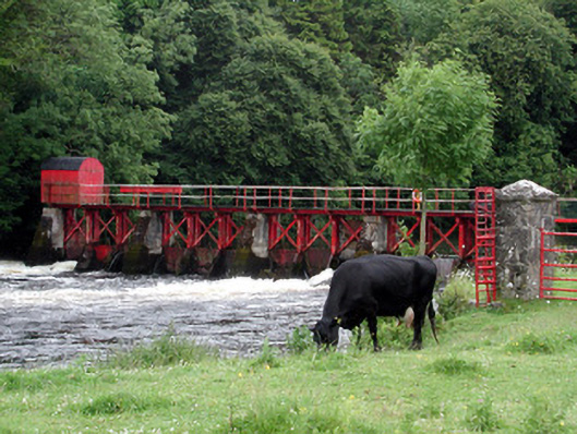 sluice/sluice gatesluice/sluice gate · 786 yd
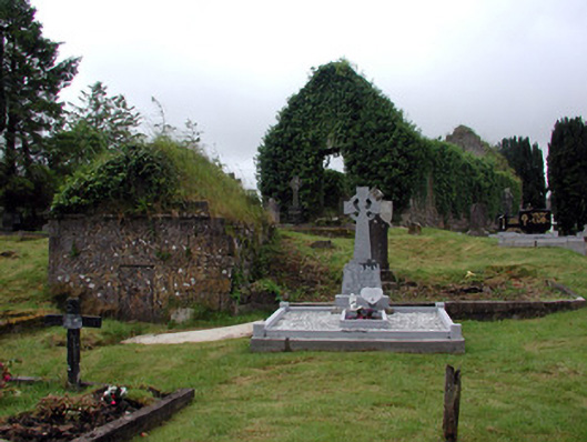 graveyard/cemeterygraveyard/cemetery · 817 yd
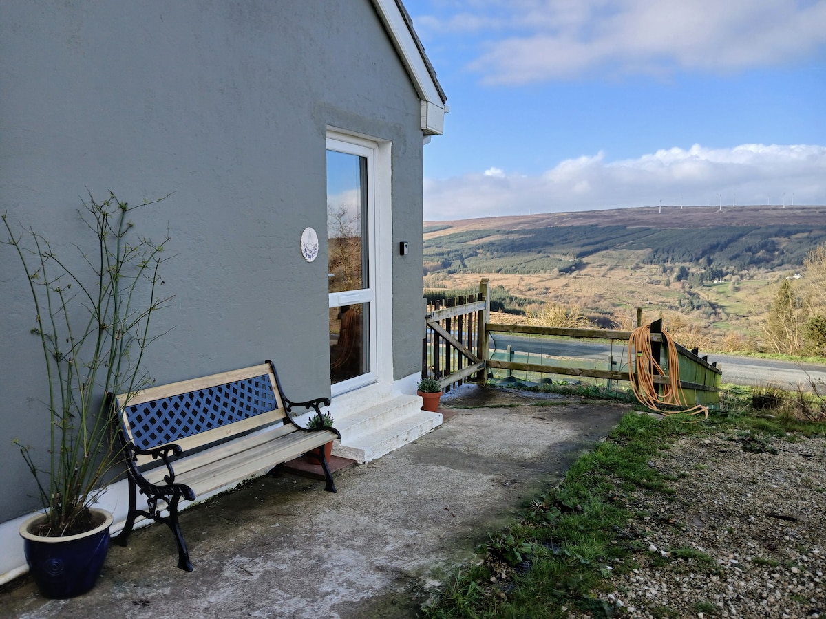 Enclosure in DrumsnaEnclosure · 998 yd
 Patrick Gill Memorial Plaque (IRA)Monument · 1416 yd
 Robert Strawbridge MemorialMemorial · 1438 yd
 Wildlife AreaNature reserve · 1.1 mi
 CastlecarraCastle, unclassified · 2.2 mi
 Site of Dangan CastleCastle, unclassified · 2.8 mi
 Moon RiverHeritage attraction · 2.9 mi
 Shannon-Erne WaterwayVisitor information · 4.3 mi
 Leabaidh DermotCave · 4.3 mi