What is recorded here
On flat level summit of low ridge running N-S, in undulating grassland. Area immediately surrounding monument is covered in scrub. Ringfort (diam. c. 35-40m) itself is heavily overgrown with scrub, brambles and nettles. It is enclosed by bank (Wth 2.1m crest, 5.7m base; int. H 0.53m; H above fosse 1.82m); fosse (Wth 1.9m; D 1.1m). Gap (Wth 1.2m) in N quadrant where field bank runs N-S across the fosse to join with inner face of bank. This field boundary continues across the interior, transecting the ringfort NW-SE. NE quadrant is defined by low bank, almost reduced to scarp (Wth 2.6m crest, 4.3m base; H above int. 0.27m; H above ext. 0.87m).
Compiled by: Jean Farrelly
Date of upload: 26 August 2011
The monument record does not grant public access. Check the route and ask the landowner before entering private land.
- What survives
- Recorded monument
Places near here
 Enclosure in OuteraghEnclosure · 1215 yd
 IndicatedEnclosure · 1482 yd
 Outeragh Castle (in ruins)Castle, unclassified · 1628 yd
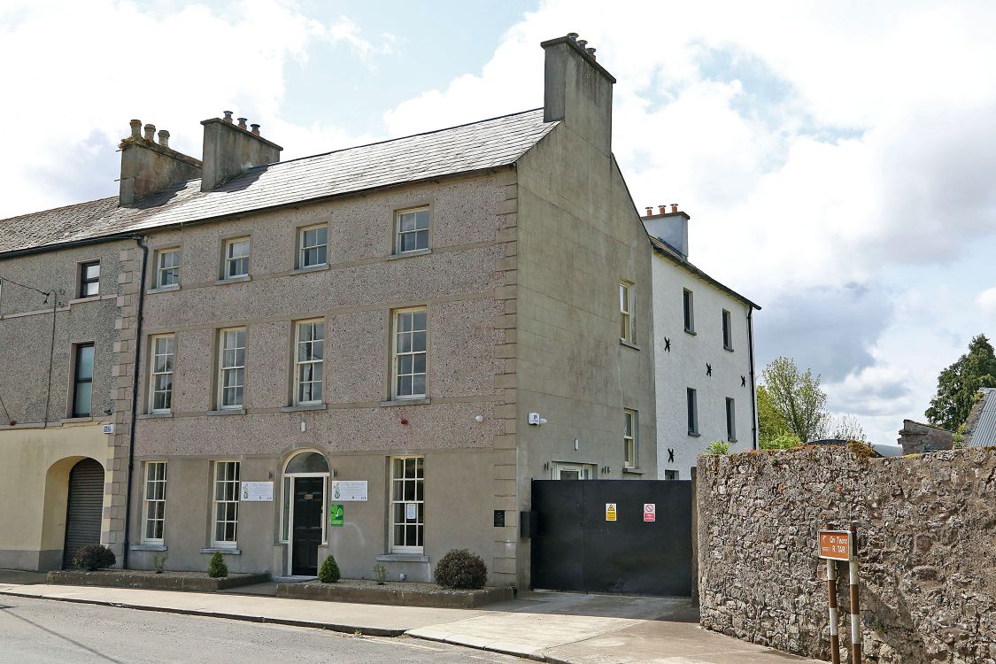 Woodinstown Ho.Castle, tower house · 1729 yd
 Outeragh Church (in ruins)Church · 1739 yd
 Mortlestown Church (in ruins)Church · 1.0 mi
 Caher AbbeyHeritage attraction · 3.7 mi
 Siege of Cahir Castlesiege · 3.9 miCahir CastleHeritage attraction · 4.0 mi
 European YewEuropean Yew · 4.8 mi
 Cottagehill WoodForest · 4.9 mi
 SturrakeenMountain / peak · 8.1 mi