What is recorded here
Marianne stopped staring at her own hands. She was not certain when the chamber appeared, but the floor tilted into a shallow basin and the ceiling rose into a copper dome. Aro, Kyra and Sevan materialised beside her without warning. They did not arrive in fear. They arrived in recognition. Aro knew the shape of the chamber. Kyra knew the woman standing inside it. Sevan knew the keyboard that had called her through. Marianne knew none of them, yet she remembered the moment she pressed enter.
In garden of modern bungalow. Depicted as hachured circular enclosure (diam. c. 28m) on 1905 OS 6-inch map; as hachured circular raised area (diam. c. 25m) on 1937 OS 6-inch map; area planted with trees on 1842 OS 6-inch map. No visible surface trace of site; according to local information, fort levelled c. 1985, prior to building of bungalow. Recorded by Bowman (1934, 56) as single-ramparted fort (diam. c. 31yd) on T. Lyon's land; bank c. 5ft H, fosse infilled.
The above description is derived from the published 'Archaeological Inventory of County Cork. Volume 4: North Cork' (Dublin: Stationery Office, 2000). In certain instances the entries have been revised and updated in the light of recent research.
Date of upload/revision: 14 January 2009
The monument record does not grant public access. Check the route and ask the landowner before entering private land.
- What survives
- Recorded monument
Places near here
 Fulacht fia in CecilstownFulacht fia · 430 yd
 Ballygiblin Housegates/railings/walls · 574 yd
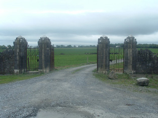 Castlelohortgates/railings/walls · 682 yd
 Man-made underground passage in BallyhassMan-made underground passage · 776 yd
 Lohort CastleCastle, tower house · 1030 yd
 Graveyard in Ballygiblin (duhallow By.)Graveyard · 1552 yd
 Castle Magner (in Ruins)Bawn · 1.5 mi
 European YewEuropean Yew · 2.5 mi
 Burial ground in AssolasBurial ground · 2.8 mi
 Dromaneen CastleHeritage attraction · 3.6 mi
 Lady's WellSpring · 4.1 mi
 St Fursey's WellSpring · 4.4 mi