What is recorded here
In pasture, located at the N end of a low, roughly N–S ridge, utilising the natural fall of ground to N and W. Good views over rolling pasture, with expanses of bog to E–SE.
Not indicated on any edition of the OS 6-inch maps. Slightly raised oval area (48.5m N–S; 56.5m E–W) defined SSW–NNE by a levelled bank surviving as a low scarp (Wth slope 2m at W, 4.5m at N; H 0.7m at W, 1.6m at N); it is best preserved on the NW arc where it is cut into the natural slope. Elsewhere the scarp can be traced only as a slight rise/undulation. A short section (L 8m) of the scarp at N has been dug away.
The level, grassy interior is crossed roughly centrally, on an ENE–WSW axis, by remnants of a field bank, now topped with a post and wire fence. A field wall on a NW–SE axis overlies the E edge of the rath. According to local tradition, there is a Man-made underground passage (MA093-097002-) in the rath.
Compiled by: Jane O’Shaughnessy
Date of upload: 30 June 2022
The monument record does not grant public access. Check the route and ask the landowner before entering private land.
- What survives
- Recorded monument
Places near here
 IndicatedFairy fort / earthen ringfort · 781 yd
 Enclosure in KilmanninEnclosure · 987 yd
 Ballyhaunis Courthousecourt house · 1.1 mi
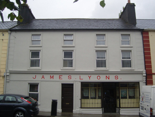 James Lyonshotel · 1.1 mi
 CastleCastle, unclassified · 1.9 mi
 Rath Castle in ruinsCastle, tower house · 4.9 mi
 East Mayo Brigade MonumentMemorial · 6.8 mi
 Kiltimagh MuseumMuseum · 11 mi
 Land of the GiantsHeritage attraction · 11 mi
 Oak WoodForest · 11 mi
 I'll Send You The FareMemorial · 11 mi
 Geoffrey's WoodForest · 12 mi