What is recorded here
Situated on top of a prominent hillock, in gently undulating pasture, with good views in all directions. Monument described in 1971 as an oval-shaped area (dims. 37.4m E-W; 35m N-S) enclosed by a bank with entrance gap (Wth at top 5m; basal Wth 1.8m) at E defined either side by a stone set on edge. The bank is steep on the exterior and is best preserved from ENE-E-SE and is reduced to a scarp elsewhere which has possible traces of an external stone facing. Large portions of the bank and scarp have been dug away at SSE, SSW and NNW. There is no visible trace of an external fosse. The interior rises slightly from the perimeter towards the centre. The perimeter and portions of the interior have been quarried at SSE and SSW. A shallow subcircular-shaped hole with upcast defining its upper edge is visible towards the centre and also seems to be a result of quarrying.
See attached profile of monument surveyed and drawn by the ASI.
Compiled by Alison McQueen, Vera Rahilly and Caimin O’Brien.
Date of upload: 02 October 2019
This remains an important historical record, but the official description says the monument is no longer visible or has been destroyed. The monument record does not grant public access. Check the route and ask the landowner before entering private land.
- What survives
- No visible remains or recorded as destroyed
Places near here
 CastleCastle, tower house · 158 yd
 Hut site in CatherinestownHut site · 515 yd
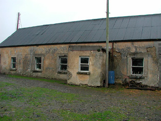 farm housefarm house · 1220 yd
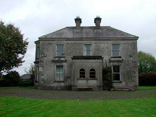 Russellstown Housecountry house · 1268 yd
 OutlinedFairy fort / ringfort · 1293 yd
 Boardstown Castle (in Ruins)Castle, tower house · 1.5 mi
 The Chimera GalleryGallery · 2.8 mi
 Famine MemorialMemorial · 2.8 mi
 United Nations War MemorialMemorial · 3.7 mi
 Saint Brigid's WellSpring · 4.4 mi
 Ash IslandIslet · 4.6 mi
 Dysart IslandIsland · 4.6 mi