What is recorded here
Fairy forts are not fairy forts. They are human ringforts, circular defences or dwelling places from the distant past. The one in Castletownroche measured about thirty-five metres across on the 1935 map. It has since been levelled, but slight undulations still mark the area. The fairy name is a later story, not a fact about the building.
In pasture. Depicted as hachured circular enclosure (diam. c. 35m) on 1935 OS 6-inch map. Levelled; undulations remain in area.
The above description is derived from the published 'Archaeological Inventory of County Cork. Volume 4: North Cork' (Dublin: Stationery Office, 2000). In certain instances the entries have been revised and updated in the light of recent research.
Date of upload/revision: 14 January 2009
The monument record does not grant public access. Check the route and ask the landowner before entering private land.
- What survives
- Recorded monument
Places near here
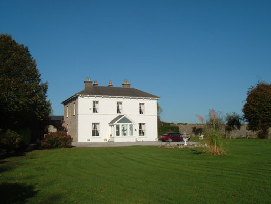 The Closecountry house · 395 yd
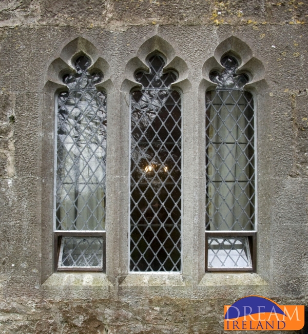 Enclosure in CastletownrocheEnclosure · 608 yd
 Catholic Church of the Immaculate Conceptionchurch/chapel · 705 yd
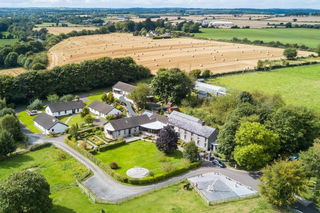 Fulacht fia in CastletownrocheFulacht fia · 714 yd
 Anne's Grove GardensHeritage attraction · 1.6 mi
 Monanimy CastleCastle, tower house · 2.1 mi
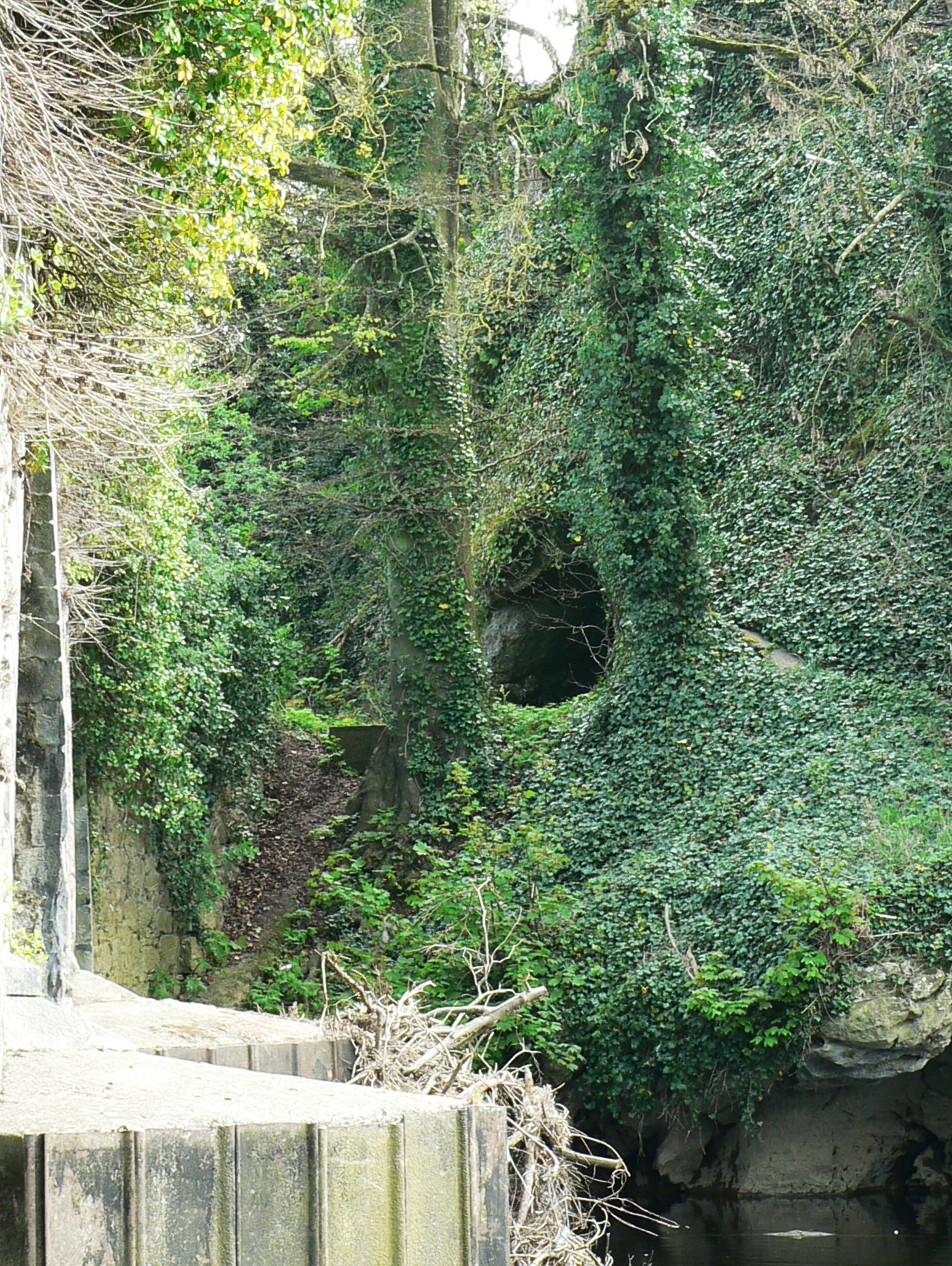 Killavullen CavesCave · 2.4 mi
 Cave in BallymacmoyCave · 2.4 mi
 Castle (in Ruins)Castle, unclassified · 2.6 mi
 Blackwater (Avondhu) WayWalking route · 3.2 mi
 Priest's WoodForest · 3.8 mi
 Johnson's WoodForest · 4.1 mi