What is recorded here
Thirty metres across on a north-facing slope, the earthen ringfort in Castletownroche still holds its shape beneath pasture and gorse. Its bank rises higher on the north side to balance the hill, while faint cultivation ridges cross the interior where locals say flax once grew. People may have lived inside, tended that flax, and forgotten the name of the fort before fairy stories took it back.
In pasture, on N-facing slope. Circular area (28m N-S; 28m E-W) raised 1.35m on N side to compensate for hill slope. Interior enclosed by earthen bank (int. H 0.35m; ext. H 0.7m), overgrown with gorse to SE and SW. Break in bank to E. Remains of cultivation ridges cross interior as differential growth patterns, where according to local information, flax was grown.
The above description is derived from the published 'Archaeological Inventory of County Cork. Volume 4: North Cork' (Dublin: Stationery Office, 2000). In certain instances the entries have been revised and updated in the light of recent research.
Date of upload/revision: 14 January 2009
A fairy fort or earthen ringfort in Castletownroche, likely dating to the early medieval period, is a circular enclosure with a raised interior and an earthen bank, typical of ancient Irish settlement features. Local folklore often associates such sites with fairy activity, and they were sometimes avoided to prevent supernatural encounters.
The monument record does not grant public access. Check the route and ask the landowner before entering private land.
- What survives
- Recorded monument
Places near here
 Enclosure in BallyhimockEnclosure · 441 yd
 Field system in BallyhimockField system · 545 yd
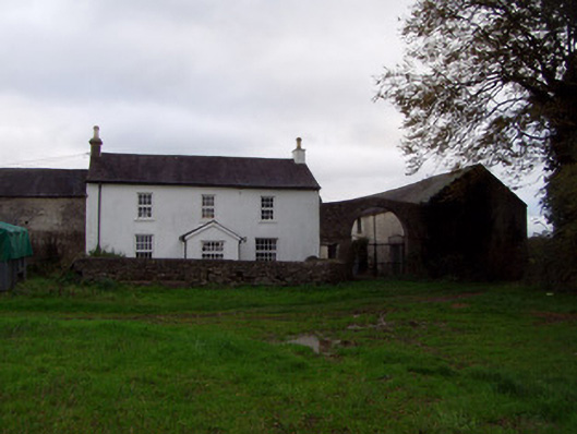 Home Farmfarmyard complex · 945 yd
 Church in Ballyellis (fermoy By., Templeroan Par.),ballyellis (fermoy By., Wallstown Par.)Church · 1654 yd
 Anne's Grove GardensHeritage attraction · 1.1 mi
 Shanballymore Castle (Site of)Castle, unclassified · 1.8 mi
 Ruane Castle (Site of)Castle, unclassified · 2.6 mi
 Pedunculate OakPedunculate Oak · 3.9 mi
 Horse Field WoodForest · 4.1 mi
 Blackwater (Avondhu) WayWalking route · 4.2 mi
 Flat cemetery in Ballyenahan NorthFlat cemetery · 4.7 mi
 Smith's WellSpring · 5.1 mi