What is recorded here
Fairy fort / earthen ringfort in Castletown (imokilly By.) stood on a NE-facing slope as a circular enclosure about 42m wide when mapped in 1842. It has been levelled, leaving no visible surface trace, yet the lost shape still belongs to Castletown (imokilly By.) and invites imagination about the people who lived, worked or played inside its ring.
On NE-facing slope. Shown on 1842 OS 6-inch map as circular enclosure (diam. c. 42m). Levelled; no visible surface trace.
The above description is derived from the published 'Archaeological Inventory of County Cork. Volume 2: East and South Cork' (Dublin: Stationery Office, 1994). In certain instances the entries have been revised and updated in the light of recent research.
Date of upload/revision: 14 January 2009
The monument record does not grant public access. Check the route and ask the landowner before entering private land.
- What survives
- Recorded monument
Places near here
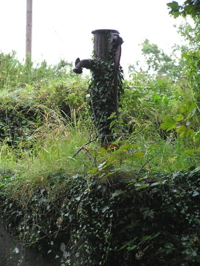 water pumpwater pump · 748 yd
 Grave YardGraveyard · 811 yd
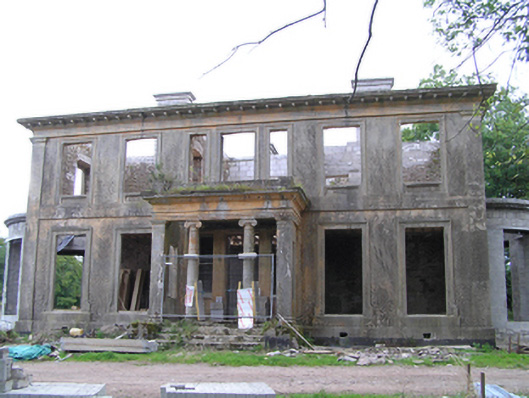 Castletown Housecountry house · 1148 yd
 Glenbower WoodForest · 1.4 mi
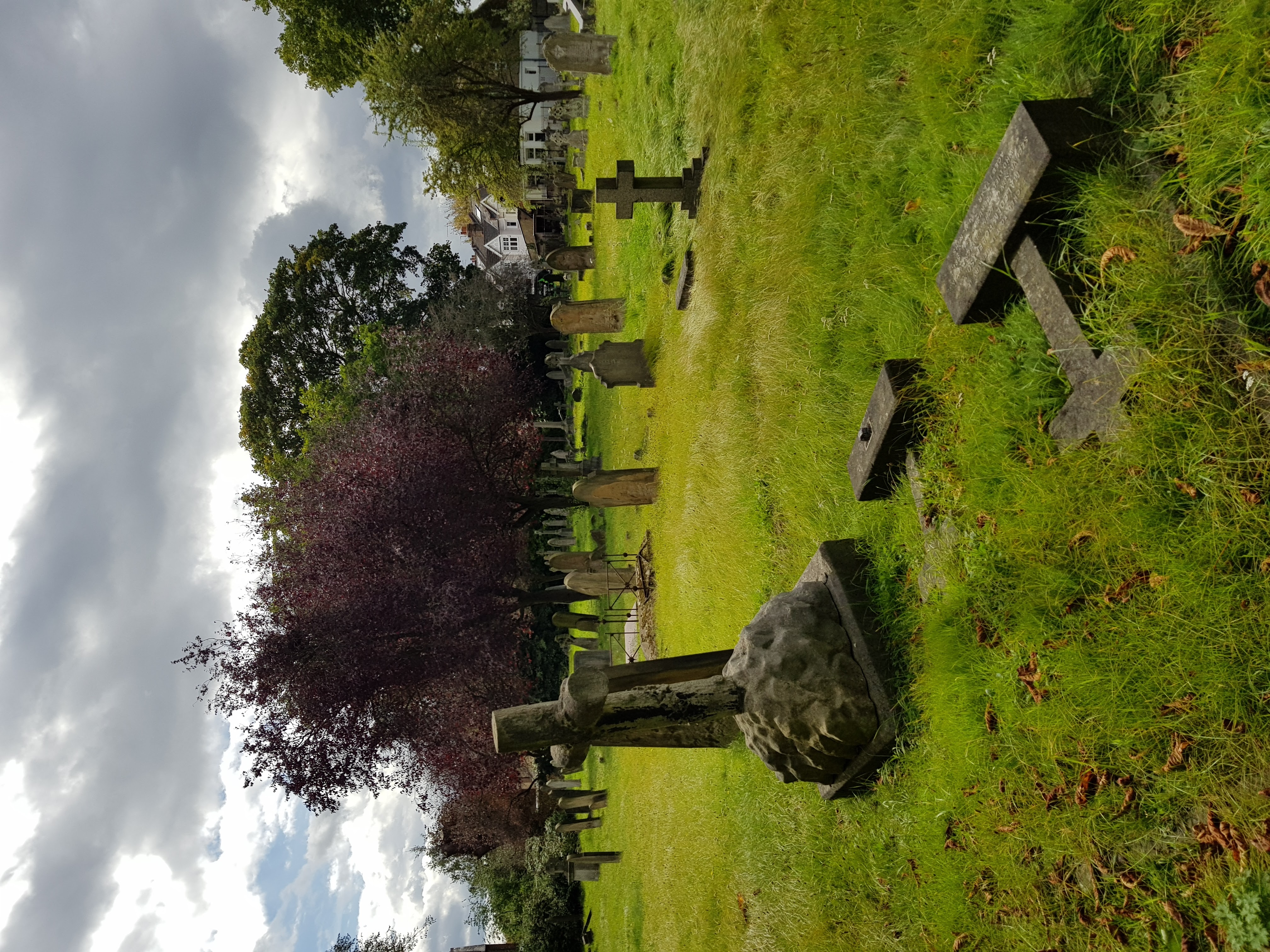 Burial ground in GlenaphucaBurial ground · 1.5 mi
 Castle (Site of)Castle, unclassified · 1.9 mi
 Castle (in Ruins)Castle, unclassified · 1.9 mi
 Fainin's WellSpring · 2.0 mi
 Historical Graveyard InformationVisitor information · 2.7 mi
 Clonmult Ambush SiteBattlefield · 2.9 mi
 Leahy's Open FarmHeritage attraction · 3.1 mi
 William Heffernan MemorialMemorial · 4.0 mi