What is recorded here
Thirty-six metres of earth rise on an east-facing slope in Castletogher, marked by cattle gaps and radiating field walls. The fort still holds its shape beneath grass and traffic, a round room large enough for life but no longer owned by one visible hand.
On E-facing slope of a low hill in undulating grassland. Circular rath (D 36m), in fair condition, defined by an overgrown earthen bank breached by numerous cattle gaps. Field walls radiate from the monument at NW and E.
The above description is derived from the published 'Archaeological Inventory of County Galway Vol. II - North Galway'. Compiled by Olive Alcock, Kathy de hÓra and Paul Gosling (Dublin: Stationery Office, 1999).
Date of upload: 05 August 2010
The monument record does not grant public access. Check the route and ask the landowner before entering private land.
- What survives
- Recorded monument
Places near here
 Rook HillMountain / peak · 198 yd
 Enclosure in CastletogherEnclosure · 823 yd
 Castle (in ruins)Castle, unclassified · 949 yd
 Church in ruinsChurch · 1271 yd
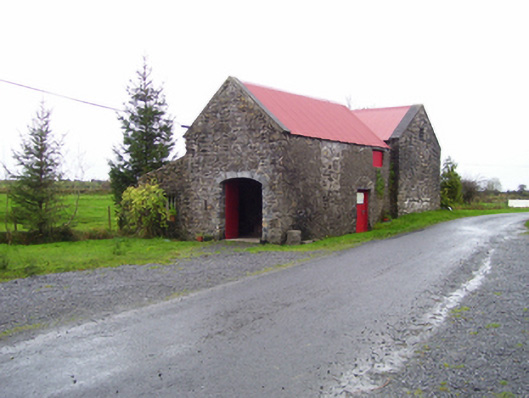 forge/smithyforge/smithy · 1326 yd
 St. Patricks ShrineShrine · 1329 yd
 Site of Ballyglass CastleCastle, unclassified · 1.7 mi
 Site of Killomaine Grave YardArchaeological place · 3.6 mi
 HawthornHawthorn · 8.0 mi
 Mount MaryMountain / peak · 8.6 mi
 European ashEuropean ash · 10 mi
 Sally IslandIslet · 11 mi