What is recorded here
Fairy fort in Castlerichard, County Cork: a shallow circular depression thirty-nine metres across, still marked on the 1842 Ordnance Survey map. The field fence to the south bends around it instead of cutting through, as if people had long stopped trusting the line of that circle. In level pasture it does not announce itself; it waits to be noticed, which is perhaps why it kept its shape while hedges and roads changed around it.
In level pasture. Shown as circular enclosure on 1842 OS 6-inch map. Shallow depression encloses circular area (diam. 39m); field fence to S curves as if to respect site.
The above description is derived from the published 'Archaeological Inventory of County Cork. Volume 2: East and South Cork' (Dublin: Stationery Office, 1994). In certain instances the entries have been revised and updated in the light of recent research.
Date of upload/revision: 14 January 2009
The monument record does not grant public access. Check the route and ask the landowner before entering private land.
- What survives
- Recorded monument
Places near here
 Grave Yard (Site of)Graveyard · 495 yd
 IndicatedKiln, lime · 757 yd
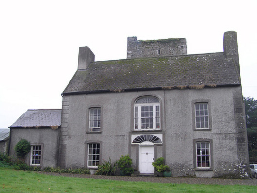 Castle Richardhouse · 1000 yd
 Fulacht fia in IghtermurraghFulacht fia · 1.1 mi
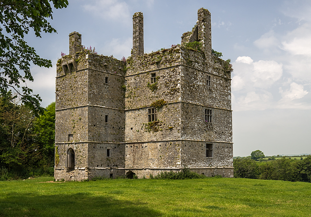 Ightermurragh Castle (in Ruins)House, fortified house · 1.1 mi
 Historical Graveyard InformationVisitor information · 1.5 mi
 Inchiquin Castle (in Ruins)Castle, Anglo-Norman masonry castle · 2.3 mi
 Fainin's WellSpring · 2.3 mi
 William Heffernan MemorialMemorial · 2.4 mi
 Mitchell's WoodWood · 2.6 mi
 Glenbower WoodForest · 2.9 mi
 Glebe IslandIslet · 3.7 mi