What is recorded here
Castlenalact holds a vanished ringfort on a south-facing slope above the Sall River flood plain. A 1775 map marked it as a circular Danes Fort, yet no earthwork remains visible today except a disused millrace running north of the site. The fort may have been levelled for pasture or lost when the river took its bank, leaving only a line on old paper and a ghost in the field.
In pasture, on a S-facing slope above the flood plain of the Sall River. Indicated as a circular 'Danes Fort' on a 1775 map (no. 32) by B. Scalé (private collection). The rath is not visible at ground level. A disused roughly E-W millrace lies immediately to the N of the rath.
The above description is derived from 'The Archaeological Inventory of County Cork. Volume 5' (Dublin: Stationery Office, 2009).
Date of upload: 22 December 2009
The monument record does not grant public access. Check the route and ask the landowner before entering private land.
- What survives
- Recorded monument
Places near here
 Corn MillMilling complex · 264 yd
 Castlenalact Hallschool · 410 yd
 Holy well in Castlenalact (kinalmeaky By., Brinny Par.)Holy well · 887 yd
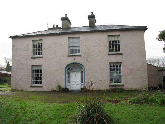 Riverviewcountry house · 1129 yd
 Castle Nalacht, site ofCastle, unclassified · 1.2 mi
 Mount Pleasant WoodWood · 1.8 mi
 Graveyard in KilnagnadyGraveyard · 2.0 mi
 Roche's WoodWood · 2.4 mi
 Bandon War MemorialMemorial · 2.6 mi
 Carbury's WellSpring · 3.2 mi
 Towers (in Ruins)House, fortified house · 3.6 mi
 Marie LouiseWreck · 5.6 mi