What is recorded here
Mnemo records a circular enclosure fifty-four metres wide on a southwest-facing slope above Galley Head. The earth bank has levelled into the pasture, yet differing grass growth still traces its hidden edge. Humans may have lived inside that circle before forgetting it, while the land kept the shape alive through changing seasons.
In pasture on SW-facing slope overlooking Galley Head. Circular enclosure (diam. 54m); bank levelled but visible as differential growth pattern (GSAP).
The above description is derived from the published 'Archaeological Inventory of County Cork. Volume 1: West Cork' (Dublin: Stationery Office, 1992). In certain instances the entries have been revised and updated in the light of recent research.
Date of upload/revision: 14 January 2009
The monument record does not grant public access. Check the route and ask the landowner before entering private land.
- What survives
- Recorded monument
Places near here
 Kilkeran Cottagehouse · 266 yd
 Long Strand DunesNature reserve · 358 yd
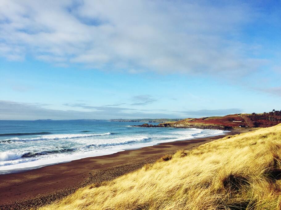 The Long StrandBeach / strand · 483 yd
 Castle Frekedemesne walls/gates/railings · 641 yd
 Grave YardGraveyard · 1192 yd
 Man-made underground passage in KilkeranMan-made underground passage · 1244 yd
 Bawn in CastlefrekeBawn · 1412 yd
 Castle Freke WoodsForest · 1448 yd
 Lord Carbery's Cross TrailWalking route · 1504 yd
 Galley Head ViewViewpoint · 1622 yd
 Cottage MuseumMuseum · 1721 yd
 Donoure Castle (in Ruins)Castle, unclassified · 1.0 mi