What is recorded here
Fairy fort in Cartronfin: a 26 m earthen ring on a low ridge, hidden from the 1837 and 1887 maps. Its shallow fosse survives only at the east and south, while the entrance has vanished beneath grass and forgetfulness. The trees still lean around it as if protecting a chamber no longer named.
On a low ridge within a tree copse. Not indicated on the 1837 or 1887 eds. of the OS 6-inch map. A raised circular area (diam. c. 26m) enclosed by a low bank of earth and stone (Wth 2m; H 0.2m) with fragmentary traces of a shallow external fosse (Wth 1.5m; D 0.1m), which are identifiable only from E-SE-S. The original entrance is not recognisable.
Compiled by: Patrick F. O'Donovan
Date of upload: 28 November 2011
The monument record does not grant public access. Check the route and ask the landowner before entering private land.
- What survives
- Recorded monument
Places near here
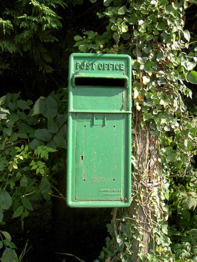 post boxpost box · 241 yd
 Catholic Church of the Sacred Heartchurch/chapel · 300 yd
 Not locatedCastle, unclassified · 628 yd
 Enclosure in Killeendowd,taghshinnyEnclosure · 765 yd
 DoonphilipCastle, motte · 1186 yd
 Indicated FortFairy fort / earthen ringfort · 1307 yd
 Goldsmith Birthplace, PallasVisitor information · 2.2 mi
 Newcastle WoodsForest · 2.2 mi
 Target WoodWood · 2.4 mi
 Craft WorkshopHeritage attraction · 2.9 mi
 Guest ServicesVisitor information · 2.9 mi
 National Famine WayWalking route · 4.4 mi