What is recorded here
Half of the ring has vanished under plough and pasture, but the remaining arc still marks a circular chamber thirty-eight metres wide. The low earth bank and shallow ditch resist the flat field, preserving the shape of a home or stronghold that people forgot long before they stopped using it. What is left feels less like ruin than like a boundary drawn in soil, waiting for someone to remember the door.
In level pasture. A raised circular area (diam. 38.9m) enclosed by a low bank of earth and stone (Wth 5.5m; H 0.9m max.) with an external fosse (Wth 3.1m; D 0.6m). From WSW-N-ENE the bank and fosse have been levelled due to land reclamation. The original entrance is not recognisable.
Compiled by: Patrick F. O'Donovan
Date of upload: 26 August 2011
The monument record does not grant public access. Check the route and ask the landowner before entering private land.
- What survives
- Recorded monument
Places near here
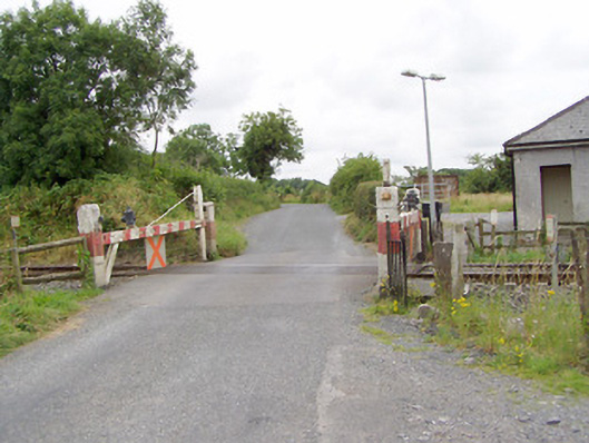 level crossinglevel crossing · 659 yd
 IndicatedChurch · 841 yd
 Man-made underground passage in CloonahardMan-made underground passage · 1077 yd
 BarrowBarrow, mound barrow · 1235 yd
 Bawn in LissardowlanBawn · 1286 yd
 CastleCastle, Anglo-Norman masonry castle · 1335 yd
 Oldtown DemesneForest · 1.4 mi
 Oldtown CopseWood · 1.5 mi
 Saint Mel's CathedralCathedral · 3.4 mi
 First World War MemorialMemorial · 3.4 mi
 Graveyard in Curry (ardagh By., Coolamber Ed)Graveyard · 4.2 mi
 Bully's Acregraveyard/cemetery, unknown · 5.6 mi