What is recorded here
Rathcronan, a circular enclosure marked 'Fort' on the 1837 map, was levelled into the low rise before anyone could walk its edge. The earth swallowed the wall, the gate, and every shadow the fort once threw across the pasture. What remains is a flat field where a boundary disappeared, not a hole in knowledge but a life erased.
On a low rise in moderately drained pasture. Depicted as a circular enclosure with the designation 'Fort' on the 1837 ed. of the OS 6-inch map. The monument has been levelled and is not visible at ground level.
Compiled by: Patrick F. O'Donovan
Date of upload: 26 August 2011
The monument record does not grant public access. Check the route and ask the landowner before entering private land.
- What survives
- Recorded monument
Places near here
 gates/railings/wallsgates/railings/walls · 329 yd
 BarrowBarrow, ring-barrow · 493 yd
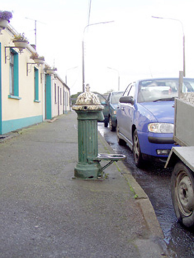 water pumpwater pump · 704 yd
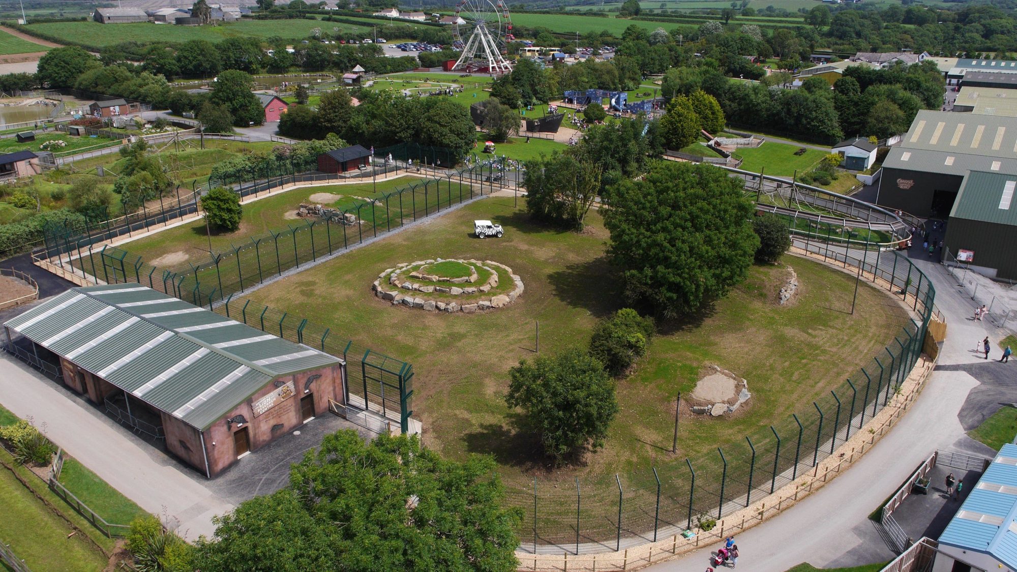 Enclosure in BallymauriceEnclosure · 775 yd
 Moat of GranardCastle, motte and bailey · 990 yd
 CastleCastle, unclassified · 1019 yd
 Granard MotteMotte-and-bailey castle remains · 1030 yd
 1798 Monumentmonument · 1066 yd
 CartronfreeMountain / peak · 3.4 mi
 Clonfin Ambush MemorialMemorial · 3.8 mi
 Cloonfin WoodForest · 4.3 mi
 CarrickabaneMountain / peak · 4.3 mi