What is recorded here
Fairy fort / earthen ringfort in Carrownacreevy (tireragh By., Dromard East Ed),tanrego West is a fairy fort or earthen ringfort in Carrownacreevy (tireragh By., Dromard East Ed),tanrego West, County Sligo, Ireland. The circular earthwork measures roughly 45m across and sits on elevated ground 1km south of Ballysadare Bay. A modern stone wall crosses the site, marking the boundary between Carrownacreevy and Tanrego West. The eastern portion lies within deciduous woodland, while the western portion remains a barely discernible platform in pasture.
In good coastal grassland, 1km S of Ballysadare Bay; on elevated ground with a slope down to E.
This rath is not shown on any edition of the OS 6-inch maps. A modern stone wall on a NNE−SSW axis crosses the rath to W of centre, coinciding with the boundary between the townlands of Carrownacreey at W and Tanrego West at E. The portion of the rath to W of the wall is in a pasture field; it survives as a barely discernible D-shaped platform. The larger portion lying to E of the wall is in deciduous woodland, its outline largely obscured by widely spaced mature beech trees and a close-set planting of young oaks.
Circular area (diam. c. 45m) defined by a levelled bank/scarp. The levelled bank can be traced as a low rise (Wth c. 3m; int. H 0.1m; ext. H 0.3-0.4m) on the NE arc. It is reduced to a low, uneven scarp (H 0.5m) on the SE−SW arc, becoming increasingly indistinct at W−NW, petering out at NNW−N (on the W side of the transecting wall), where it fades into a small area of wettish ground. There is an uneven sunken break (Wth c. 6m) in the scarp at E, which appears to have been partly dug out/disturbed in the modern era, and another break (Wth c. 2.4m) in the scarp at S.
A shallow depression (Wth 2-2.5m) immediately outside the scarp at S may indicate a fosse but cannot be traced elsewhere.
To W of the transecting wall, the interior is level; it is grass-covered with ephemeral E-W linear features, possibly relict cultivation ridges. To E of the wall, the interior slopes gradually down to E and has an uneven surface, broken by a few large boulders; a post and wire fence extends to E from the N-S wall across the S half. An area of disturbance is evident in the N half, a mature tree stands adjacent to this, at the base of which is a concentration of moss-covered stones.
There is a Man-made underground passage (SL019-264002-) in the N half of the interior, close to the enclosing bank in the NE quadrant.
Relict field boundaries intersect with the rath at SW and E, and appear to post-date it.
Attached images:
SL019-264001-_01.JPG E portion of rath viewed from S
SL019-264001-_02.JPG E portion of rath viewed from SW
SL019-264001-_03.JPG W portion of rath viewed from SE
Compiled by: Jane O’Shaughnessy
Date of upload: 3 March 2023
The monument record does not grant public access. Check the route and ask the landowner before entering private land.
- What survives
- Recorded monument
Places near here
 Carrowgarry Househouse · 416 yd
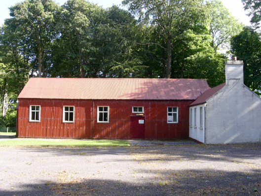 The Hallcommunity centre · 721 yd
 Enclosure in Carrowkeel (tireragh By.)Enclosure · 778 yd
 IndicatedFairy fort / earthen ringfort · 910 yd
 Bawn in Tanrego WestBawn · 1141 yd
 Giant's GraveArchaeological place · 1740 yd
 Lahanacappul IslandIslet · 1.1 mi
 Ballinlig PointHeadland · 1.3 mi
 CastleCastle, ringwork · 1.4 mi
 Portavaud PointHeadland · 1.5 mi
 European ashEuropean ash · 1.7 mi
 Pigeonpark WoodForest · 1.9 mi