What is recorded here
Fairy fort in Carrownacon: two earthen banks, one ditch, a raised middle, and gaps where entry or exit happened. Cattle have since confused the edges, but the circle still reads as a chosen place rather than a heap of soil.
In pasture, on E side of gentle slope. Roughly circular area (59m N-S; 52m E-W), enclosed by two tree-lined, earthen banks, with intervening fosse (D 2.1m). Inner bank (H 1m) has gaps on NNE, W, WSW; overlain by fence on W. Outer bank (H 0.8m) levelled, SW to NW. Interior raised; slopes downwards towards bank on all sides; greatly disturbed by farm animals.
The above description has been derived from D. Lavelle (compiler), An Archaeological Survey of Ballinrobe and District including Lough Mask and Lough Carra. Lough Mask and Lough Carra Tourist Development Association (1994), No. 129.
Attached images:
MA100-057----_01.JPG Viewed from W
MA100-057----_02.JPG Fosse on W arc, viewed from S
MA100-057----_03.JPG Interior
MA100-057----_42.JPG Fosse and inner bank at W, viewed from N
Date of upload: 25 January 2013
The monument record does not grant public access. Check the route and ask the landowner before entering private land.
- What survives
- Recorded monument
Places near here
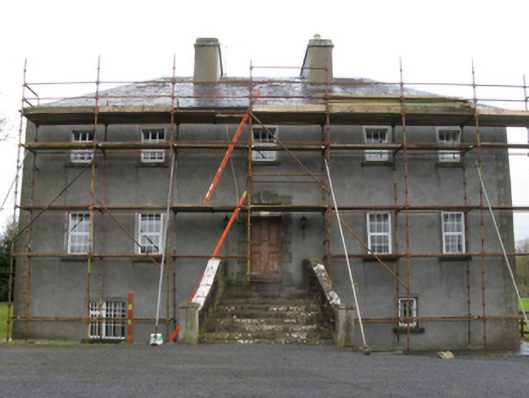 Carrownacon Housefarm house · 538 yd
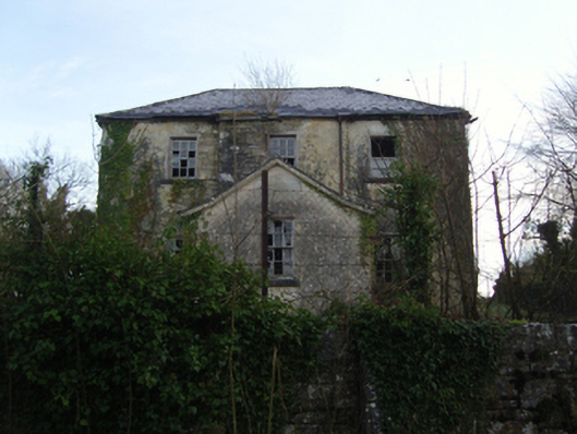 Burrisacarra Schoolschool · 829 yd
 Enclosure in KnockacurreenEnclosure · 1080 yd
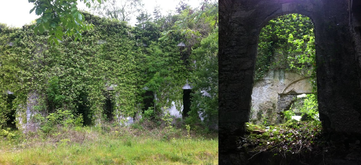 Enclosure in Towerhill DemesneEnclosure · 1355 yd
 Moore Hall Forest TrailWalking route · 1.5 mi
 Moore Hall ForestForest · 1.8 mi
 Deer IslandIslet · 1.9 mi
 Cerberus, from Thomastown HouseMemorial · 1.9 mi
 European hornbeamEuropean hornbeam · 2.0 mi
 Connors IslandIslet · 2.0 mi
 Wall of CastleBawn · 2.0 mi
 Castle CarraCastle · 2.1 mi