What is recorded here
Fairy fort / earthen ringfort in Carrownacarrick is a fairy fort or earthen ringfort in Carrownacarrick, County Sligo, Ireland. It occupies an oval area twenty-eight and a half by thirty-eight and a half metres on a gentle south-facing woodland rise. An earthen bank and external fosse enclose the space, with a possible causewayed entrance at the northeast and a gap in the bank at the east.
In woodland, on a rise on a gentle S-facing slope. An oval area (int. diam. 28.5m N-S; 38.5m E-W) enclosed by an earthen bank and an external fosse and planted with trees. The bank is well preserved along the W arc (Wth 2.5m; int. H 1.2m; ext. H 1.8m). There is a possible entrance (Wth 1.2m) at NE with a causeway across the fosse and a gap (Wth 1m) in the bank at E. The fosse (Wth 3m; D 0.6m) is deepest along the E arc. There is a hollow (Wth c. 20m) dug out of the fosse at E and planted with trees.
The above description is derived from the published 'Archaeological Inventory of County Sligo' compiled by Ursula Egan, Elizabeth Byrne, Mary Sleeman with Sheila Ronan and Connie Murphy (Dublin Stationery Office, 2005).
Date of upload: 18 January 2008
The monument record does not grant public access. Check the route and ask the landowner before entering private land.
- What survives
- Recorded monument
Places near here
 Enclosure in CarrownacarrickEnclosure · 624 yd
 RathnarrowFairy fort / earthen ringfort · 822 yd
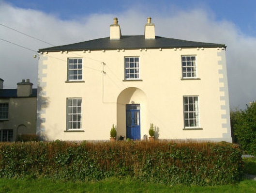 Rathbarran Houserectory/glebe/vicarage/curate's house · 1599 yd
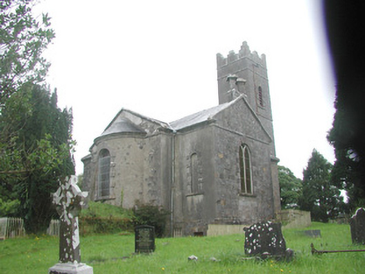 Killoran Churchchurch/chapel · 1703 yd
 Moymlough Castle (in Ruins)Castle, tower house · 1.6 mi
 Tullaghan HillMountain / peak · 2.2 mi
 European ashEuropean ash · 2.4 mi
 ElderElder · 2.8 mi
 DoomoreMountain / peak · 3.0 mi
 Castle (Site of)Castle, unclassified · 3.2 mi
 RinnatalleenHeadland · 4.5 mi
 Brother WalfridMemorial · 5.0 mi