What is recorded here
Fairy fort / earthen ringfort in Carrowloughan East is a fairy fort or earthen ringfort in Carrowloughan East, County Sligo, Ireland. It occupies a broad rise in gently undulating pasture as a slightly raised, roughly rectangular area measuring 32 metres north-south and 26 metres east-west. A narrow bank of earth and stone encloses the space, reaching 2.2 metres in width and 0.95 metres in internal height. The south-west to west-north-west section preserves the structure best because upright limestone slabs revet the internal face.
Situated on broad rise in gently undulating pasture. Slightly raised, roughly rectangular area (dims. 32m N-S; 26m E-W) enclosed by a narrow bank of earth and stone (Wth 2.2m; int. H 0.95m). This is best preserved SW-WNW where the internal face is revetted with upright limestone slabs laid flat. There is no fosse visible at ground level. The bank has been modified and incorporated into field boundaries from NW-NE and from E-SE. A wide break in the bank at S (Wth 6.5m) probably marks the original entrance.
Compiled by: Mark Keegan
Date of upload: 19 January 2011
The monument record does not grant public access. Check the route and ask the landowner before entering private land.
- What survives
- Recorded monument
Places near here
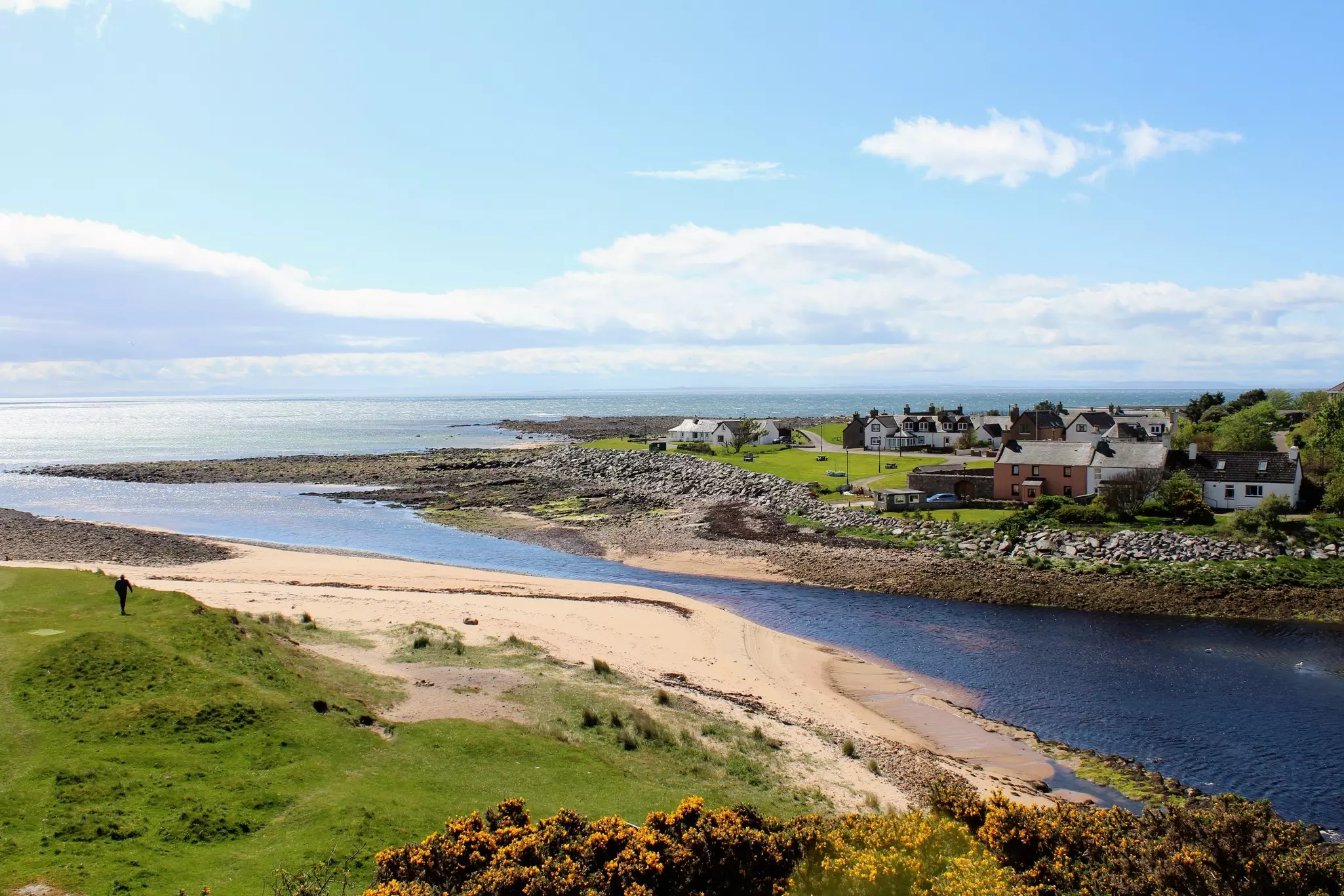 TobernasoolRitual site, holy/saint's stone · 459 yd
 Derkmore PointHeadland · 535 yd
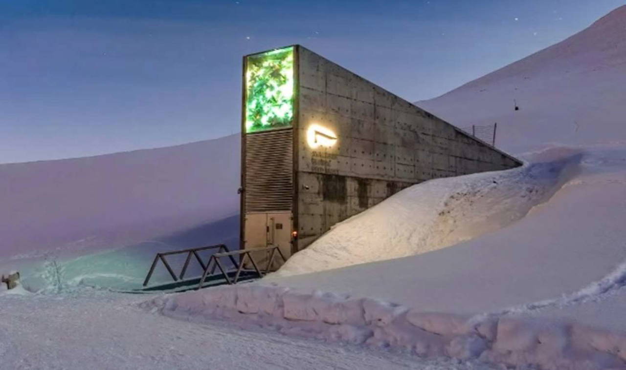 Enclosure in SkibbolecorraghEnclosure · 588 yd
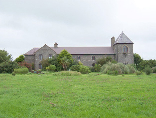 The Old Coastguard Stationcoastguard station · 1044 yd
 Bawn in CarrowbrickeenBawn · 1205 yd
 BawnmoyleRuins · 1207 yd
 CastleCastle, ringwork · 1.9 mi
 Portavaud PointHeadland · 2.0 mi
 Strandhill BeachBeach / strand · 2.2 mi
 Lahanacappul IslandIslet · 2.2 mi
 CulleenamoreBeach / strand · 2.4 mi
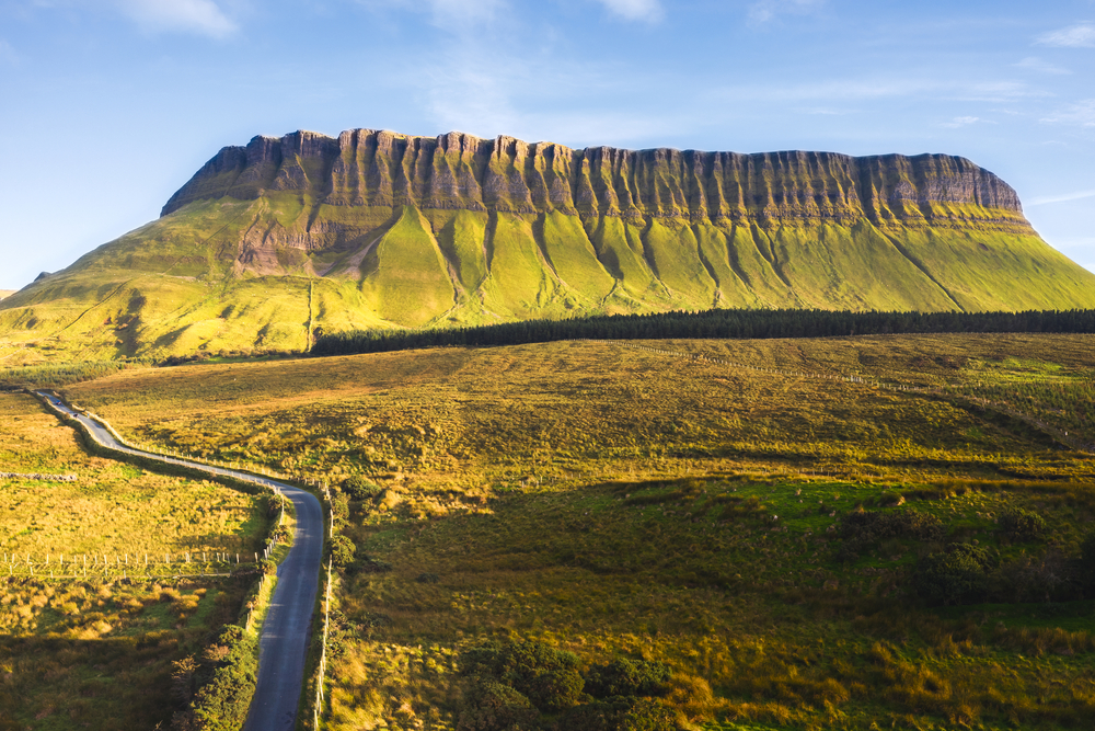 SuperHeritage attraction · 2.4 mi