What is recorded here
Carrowgorm holds a faded ringfort on a grassy rise, its low bank and outer ditch still marking a circular home though modern breaches have cut through the earth. It stands near a second ringfort, suggesting a small cluster of lives rather than a lonely outpost. The fairies may have taken the name, but the shape belongs to people who dug, lived and left the land changed.
On a rise in level grassland. Poorly preserved circular rath (D 44.5m) defined by a low bank and external fosse. Several breaches in the bank appear modern. The fosse is best preserved at W. A ringfort (GA044-027----) lies c. 180m to NW.
The above description is derived from the published 'Archaeological Inventory of County Galway Vol. II - North Galway'. Compiled by Olive Alcock, Kathy de hÓra and Paul Gosling (Dublin: Stationery Office, 1999).
Date of upload: 05 August 2010
The monument record does not grant public access. Check the route and ask the landowner before entering private land.
- What survives
- Recorded monument
Places near here
 Saint Mary's Catholic Churchbell tower/stand · 999 yd
 Killererin Church (in Ruins)Church · 1088 yd
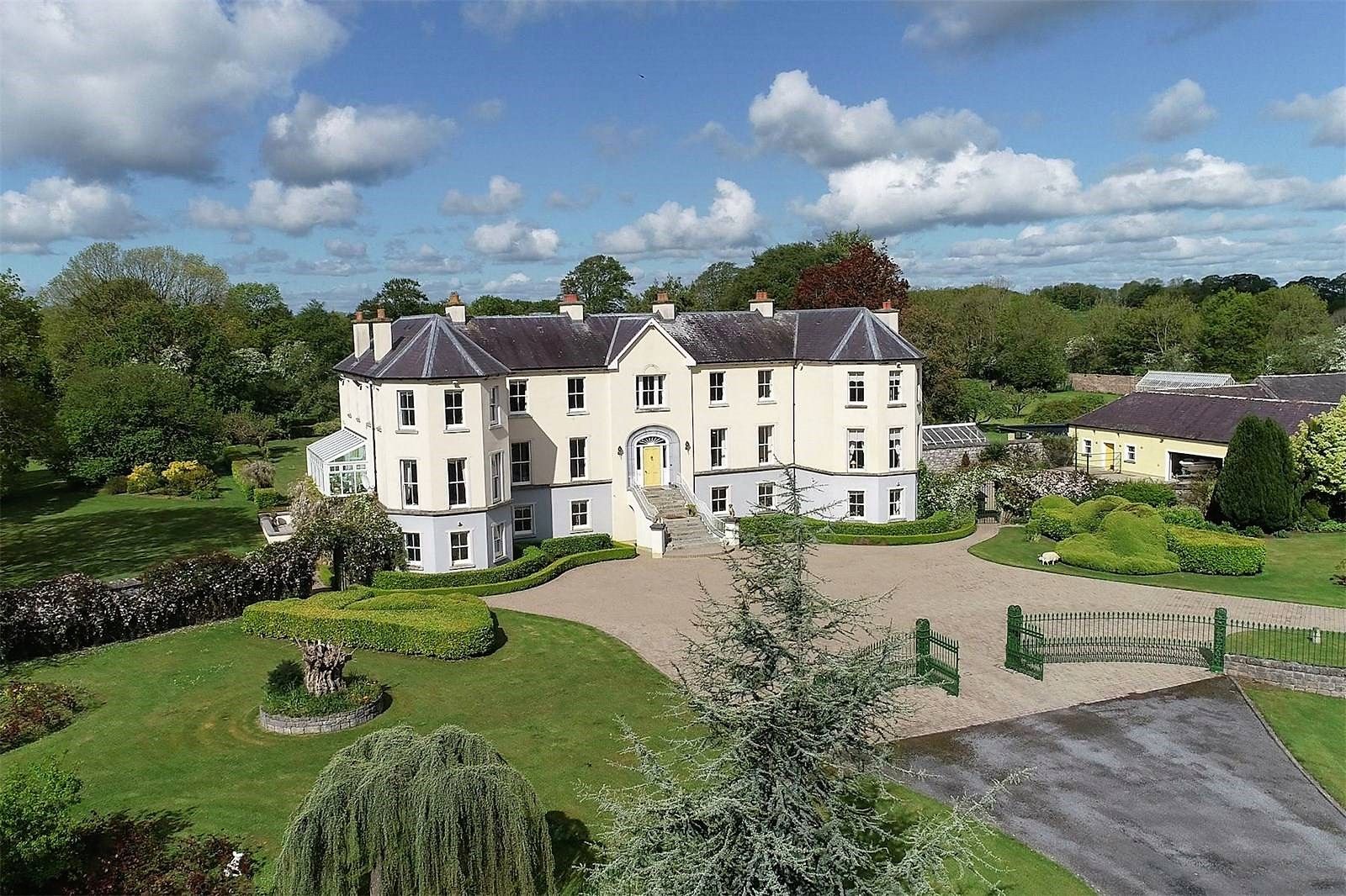 Lisherriddy FortFairy fort / earthen ringfort · 1528 yd
 Barnaderg CastleCastle · 1.2 mi
 Field system in Barnaderg NorthField system · 1.2 mi
 CastleCastle, unclassified · 1.8 mi
 Knockmoy AbbeyHeritage attraction · 2.0 mi
 Common WhitebeamCommon Whitebeam · 5.0 mi
 SycamoreSycamore · 5.0 mi
 Menlough IRAMemorial · 7.8 mi
 Mass RockNamed rock · 8.8 mi
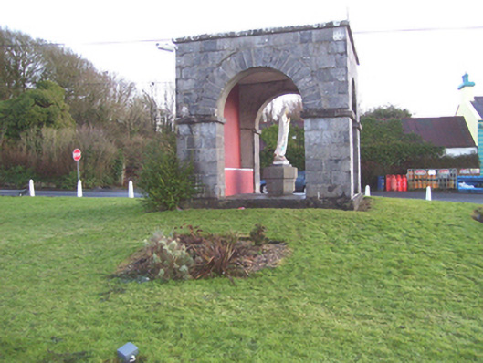 monumentmonument · 1.2 mi