What is recorded here
Carrowgorm holds a broken oval fort, forty metres long and thirty wide, beside a larger ringfort. A field wall now cuts through its northern and southern banks, erasing the western edge entirely. The fairies kept this place for themselves, perhaps explaining why human memory and soil both failed to preserve it.
Some 180m NW of a ringfort (GA044-028----). Marked on 1st ed. of OS 6-inch map as an oval enclosure (N-S c. 40m, E-W c. 30m). What survives is a bank and external fosse from N through E to SSE. A field wall cuts the monument at N and SSE, and no visible surface trace survives to W of it.
The above description is derived from the published 'Archaeological Inventory of County Galway Vol. II - North Galway'. Compiled by Olive Alcock, Kathy de hÓra and Paul Gosling (Dublin: Stationery Office, 1999). In certain instances the entries have been revised and updated in the light of recent research.
Updated by: Olive Alcock
Date of revised upload: 15 September 2015
The monument record does not grant public access. Check the route and ask the landowner before entering private land.
- What survives
- Recorded monument
Places near here
 Saint Mary's Catholic Churchbell tower/stand · 1100 yd
 Killererin Church (in Ruins)Church · 1174 yd
 Lisherriddy FortFairy fort / earthen ringfort · 1371 yd
 Field system in Barnaderg NorthField system · 1.1 mi
 Barnaderg CastleCastle · 1.1 mi
 CastleCastle, unclassified · 1.8 mi
 Knockmoy AbbeyHeritage attraction · 2.1 mi
 Common WhitebeamCommon Whitebeam · 5.1 mi
 SycamoreSycamore · 5.1 mi
 Menlough IRAMemorial · 7.9 mi
 Mass RockNamed rock · 8.7 mi
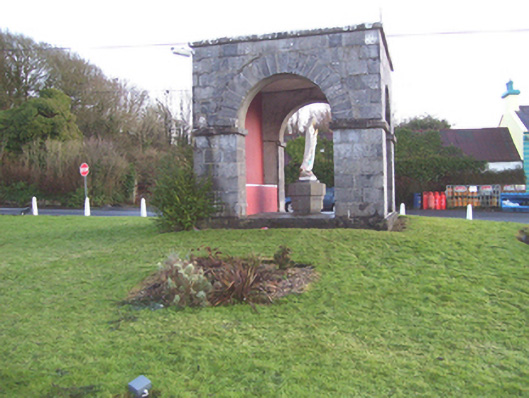 monumentmonument · 1.2 mi