What is recorded here
Situated on the W-facing slope of a ridge in undulating pasture. Two conjoined enclosures are marked on the 1913 edition of the OS 6-inch map. However only one is marked on the 1837 edition. This enclosure, a rath, comprises an approximately oval-shaped raised area (dims. 37m NE-SW; 21m NW-SE) enclosed by a bank of earth and stone revetted with stones (Wth. 3.3m; int. H 0.55m). No fosse. Break in bank at E (Wth. 2.2m) may represent original entrance. The second enclosure (SL013-063002-) adjoined the ENE of this monument.
______________________________________________________________________
Compiled by: Patrick F. O'Donovan
Date of upload: 19 January 2011
The monument record does not grant public access. Check the route and ask the landowner before entering private land.
- What survives
- Recorded monument
Places near here
 Enclosure in CarrowgilhoolyEnclosure · 59 yd
 IndicatedHilltop enclosure · 196 yd
 Bawn in CarrowbrickeenBawn · 1215 yd
 BawnmoyleRuins · 1228 yd
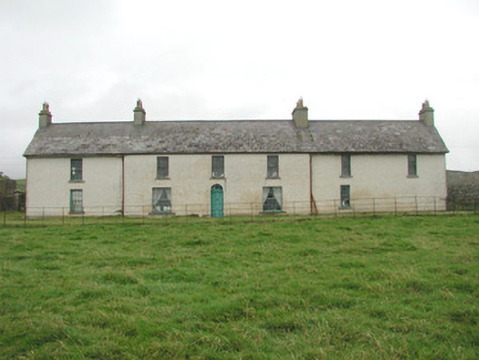 Toberpatrick Lodgehouse · 1.0 mi
 Derkmore PointHeadland · 1.5 mi
 CastleCastle, ringwork · 1.7 mi
 Giant's GraveArchaeological place · 2.0 mi
 Lahanacappul IslandIslet · 2.1 mi
 Portavaud PointHeadland · 2.2 mi
 Dunmoran StrandBeach / strand · 2.2 mi
 Valley WoodForest · 2.9 mi