What is recorded here
Killaspuglonane Ed is a circular earthen ringfort in Carrowduff, County Clare, with two banks and a central ditch. It sits on a gentle slope above marshy pasture, facing south toward open country. The southeast gap in the inner bank may have been the entrance, while rushes still cover the floor where people once lived.
In marshy pasture, on a gentle S-facing slope with clear views to the S, overlooked by higher ground to W, c. 50m east of a stream. Hachured on the 1840 and 1916 eds. OS 6-inch maps. A bivallate circular rath (est. diam. 22m) defined by an inner bank (Wth 1.5-2.5m; H 0.1-0.25m), a fosse (Wth 1.9-2.6m; int. D 0.25-0.55m), and an outer bank (Wth 2-3m; ext. H 0.35-0.5m). A gap (Wth 1.8m) at SE in the inner bank may indicate an original entrance. The interior slopes gently down to S. The entire W part of the site is heavily overgrown and a NW-SE field boundary may truncate the site in this area. The interior is covered in rushes.
The following image has been uploaded:
CL015-004----_01.jpg Aerial view of rath (ASI aerial photo, SMR file)
Compiled by: Mary Tunney and Eve Campbell
Date of upload: 5 September 2022
A bivallate circular earthen ringfort in Carrowduff, likely dating to the early medieval period. It appears on 19th-century Ordnance Survey maps and is associated locally with fairy folklore, as suggested by its name.
The monument record does not grant public access. Check the route and ask the landowner before entering private land.
- What survives
- Recorded monument
Places near here
 Enclosure in Moymore NorthEnclosure · 247 yd
 Enclosure in BallyfaudeenEnclosure · 1562 yd
 Site of Tullamore CastleCastle, unclassified · 1.6 mi
 Church in KillaspuglonaneChurch · 1.8 mi
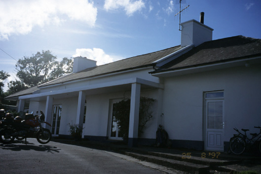 Sandfield Lodgehouse · 2.0 mi
 Doonagore Castle in ruinsCastle, tower house · 2.1 mi
 Doolin Cliff WalkWalking route · 2.4 mi
 Fisherstreet PotCave · 2.5 mi
 Doolin Road SinkCave · 2.9 mi
 Kilmanahn GraveyardRuins · 3.0 mi
 Lahinch BeachBeach / strand · 3.1 mi
 Cliffs of Moher Visitor CentreVisitor information · 3.2 mi