What is recorded here
Carrigroe holds an earthen oval forty-two metres long, marked by twin banks and deep ditches on a south-facing slope. The southern gap measures six metres wide, inviting entry rather than blocking it. Local people call it a fairy fort, suggesting the earth itself may still breathe beneath the pasture.
In pasture, on break in S-facing slope. Oval area (42.5m N-S; 33.6m E-W) enclosed by earthen bank (max. int. H 0.35m; ext. H 0.8m), with external fosse (D 0.6m); second bank (int. H 0.6m; ext. H 1.8m) N->SSE and SSW->NW; outer fosse NNE->SSW (D 1.35m). Break through both banks to SSW (Wth 6m).
The above description is derived from the published 'Archaeological Inventory of County Cork. Volume 1: West Cork' (Dublin: Stationery Office, 1992). In certain instances the entries have been revised and updated in the light of recent research.
Date of upload/revision: 14 January 2009
The monument record does not grant public access. Check the route and ask the landowner before entering private land.
- What survives
- Recorded monument
Places near here
 Church in Carrigroe (ibane and Barryroe By.)Church · 537 yd
 Man-made underground passage in Carrigroe (ibane and Barryroe By.)Man-made underground passage · 570 yd
 Burial ground in Carrigroe (ibane and Barryroe By.)Burial ground · 660 yd
 demesne walls/gates/railingsdemesne walls/gates/railings · 815 yd
 Cottage MuseumMuseum · 1487 yd
 Castle Freke WoodsForest · 1.0 mi
 Sitka SpruceSitka Spruce · 1.1 mi
 Bawn in CastlefrekeBawn · 1.5 mi
 Lord Carbery's Cross TrailWalking route · 1.7 mi
 Galley Head ViewViewpoint · 2.0 mi
 Michael Collins MemorialMemorial · 2.0 mi
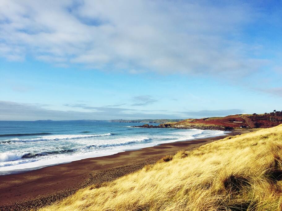 The Long StrandBeach / strand · 2.1 mi