What is recorded here
Carrignagroghera was a circular earthen fort forty-one metres wide, marked clearly on maps before horse races, fighter jets and golf balls repeated crushed its shape. The fairies never left; they simply moved underground, waiting for humans to stop listening.
In pasture, on level ground above E-facing slope. Depicted as hachured circular enclosure on 1842 OS 6-inch map; as hachured circular raised area (diam. c. 35m) on 1935 OS 6-inch map. Levelled; slight rise visible in area of site. Circular enclosure visible as cropmark of fosse in aerial photograph (CASAP). According to O'Kelly and Shee (1968, 46), remains consisted of 'platform-like structure [diam. 41m] with some evidence of a slight bank on the edge of the platform and a slight external ditch.'; 'Levelling activities in connection with the uses of the area [race-course, military airfield, golf course and driving green]...have repeatedly interfered with the site' (ibid., 45). Man-made underground passage (CO035-01902-) at W side of interior.
The above description is derived from the published 'Archaeological Inventory of County Cork. Volume 4: North Cork' (Dublin: Stationery Office, 2000). In certain instances the entries have been revised and updated in the light of recent research.
Date of upload/revision: 14 January 2009
The monument record does not grant public access. Check the route and ask the landowner before entering private land.
- What survives
- Recorded monument
Places near here
 Military Cemetery (Disused)Burial ground · 529 yd
 IndicatedGraveyard · 645 yd
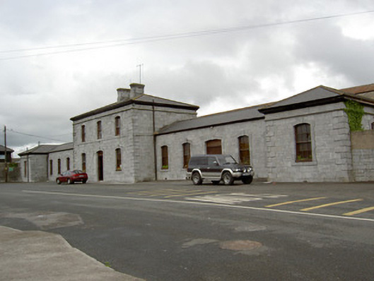 Nelligan's Funeral Homerailway station · 667 yd
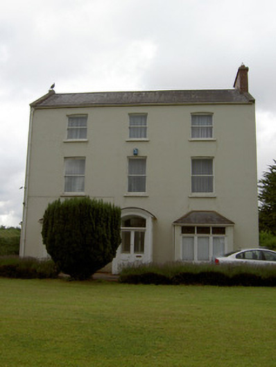 Sunmount Househouse · 671 yd
 Tourist InformationVisitor information · 1580 yd
 Graveyard in FermoyGraveyard · 1590 yd
 Kent BridgeMemorial · 1620 yd
 GarraunigerinaghCastle(inRuins) (1936)*Castle, tower house · 1.0 mi
 Old Railway ViaductViewpoint · 1.4 mi
 Carrigabrick Castle (in Ruins)Castle, tower house · 1.4 mi
 Ballybrack WoodForest · 2.1 mi
 Strawhall WoodForest · 2.4 mi