What is recorded here
Carrigleagh holds a subcircular earthen ringfort on a gentle east-facing slope, its outer bank now swallowed by field fences while a diagonal stone wall still bars the western entrance. The interior rises on the southeast to defeat the hillslope, and a hidden passage cuts through the north quadrant, suggesting the site served more purpose than passive display. Claidh Dubh flows nearby, feeding a place where human ingenuity and fairy legend still tangle in the same soil.
In pasture, on gentle E-facing slope. Subcircular area (48m E-W; 42m N-S) enclosed by earthen bank (int. H 0.4m; ext. H 0.3m) W->ENE, with scarp (H 1m) elsewhere; intervening fosse (D 0.7m) and outer earthen bank (H 0.9m) S->ENE. Outer bank incorporated into field fence system SSW->W. Entrance to W; stone wall crosses entrance diagonally from outer bank to inner bank. Interior raised on SE side to compensate for hillslope; Man-made underground passage (CO018-07502-) in N quadrant. Claidh Dubh (CO018-001---) runs a short distance to E and S of site.
The above description is derived from the published 'Archaeological Inventory of County Cork. Volume 4: North Cork' (Dublin: Stationery Office, 2000). In certain instances the entries have been revised and updated in the light of recent research.
Date of upload/revision: 14 January 2009
The monument record does not grant public access. Check the route and ask the landowner before entering private land.
- What survives
- Recorded monument
Places near here
 Man-made underground passageMan-made underground passage · 15 yd
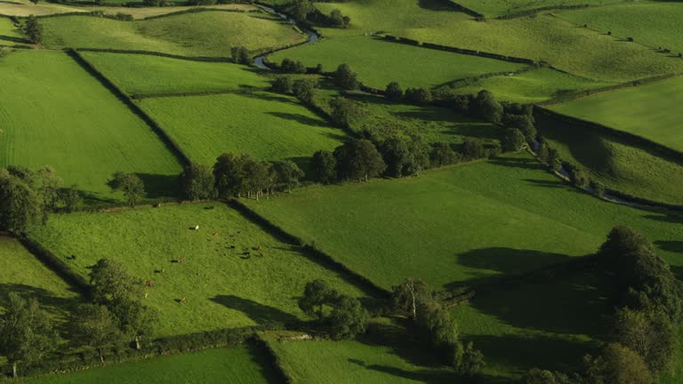 Field system in Carrigleagh (fermoy By., Wallstown Par.)Field system · 836 yd
 gates/railings/wallsgates/railings/walls · 1155 yd
 IndicatedKiln, lime · 1301 yd
 Ruane Castle (Site of)Castle, unclassified · 1.5 mi
 Shanballymore Castle (Site of)Castle, unclassified · 1.7 mi
 Flat cemetery in Ballyenahan NorthFlat cemetery · 1.8 mi
 Anne's Grove GardensHeritage attraction · 1.8 mi
 Horse Field WoodForest · 2.3 mi
 North Meadow WoodForest · 2.4 mi
 Graveyard in BoherashGraveyard · 4.0 mi
 St Dominick's WellSpring · 4.1 mi