What is recorded here
No, that is the exact measurement. The facts contain the exact measurement. I must use the exact measurement.
In pasture, at foot of S side of Knockaunnagorp Hill, on edge of break in SW-facing slope. Circular raised area (46m E-W; 45m N-S) defined by earthen bank (max. int. H 1.2m: max. ext. H 4m). Internally bank highest to E and NE, decreasing in height to N, S and W. Break (Wth 2m) in bank to E; narrow gap to NNW where field fence joins enclosure. Silage pit built outside bank to N.
The above description is derived from the published 'Archaeological Inventory of County Cork. Volume 3: Mid Cork' (Dublin: Stationery Office, 1997). In certain instances the entries have been revised and updated in the light of recent research.
Date of upload/revision: 14 January 2009
The monument record does not grant public access. Check the route and ask the landowner before entering private land.
- What survives
- Recorded monument
Places near here
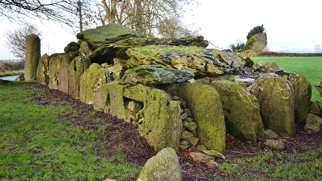 Wedge tomb in Carrigboy (muskerry West By.)Wedge tomb · 487 yd
 LisheenroeFairy fort / earthen ringfort · 524 yd
 IndicatedKiln, lime · 685 yd
 Carrigboy Castlehouse · 1551 yd
 Kilmichael Ambush SiteMonument · 1.3 mi
 Kilmichael Ambushambush · 1.3 mi
 Dromcarra Castle (in Ruins)Castle, tower house · 2.8 mi
 OCrowleys Castle (in Ruins)Castle, tower house · 3.0 mi
 Castle RockNamed rock · 4.2 mi
 The Gearagh Nature ReserveNature reserve · 4.6 mi
 Summerhouse WoodForest · 5.1 mi
 Gortnahoughtee Mass RockNamed rock · 5.8 mi