What is recorded here
Carrigaline West: Aerial photography and local memory agree that a circular fort, perhaps thirty metres across, once stood on the south-facing slope now given over to tillage. O'Leary wrote in 1918 that the lios on Hosford's land had been ploughed up, and the clean shadow in the crop suggests its boundary is still legible beneath the soil. An underground passage may preserve more of its shape, but the field has already taken the part people could walk and touch.
In tillage, on S-facing slope. Cropmark (AP, Dr. D.D.C. Pochin Mould) shows circular enclosure (diam. c. 30m). No visible surface trace in ploughed field. O'Leary (1918, 122) mentions 'lios' on Hosford's land which 'has been ploughed up'. Possible Man-made underground passage (CO086-07902-) in interior.
The above description is derived from the published 'Archaeological Inventory of County Cork. Volume 2: East and South Cork' (Dublin: Stationery Office, 1994). In certain instances the entries have been revised and updated in the light of recent research.
Date of upload/revision: 14 January 2009
The monument record does not grant public access. Check the route and ask the landowner before entering private land.
- What survives
- Recorded monument
Places near here
 Man-made underground passage in Carrigaline WestMan-made underground passage · 1 yd
 St Ringoes WellHoly well · 190 yd
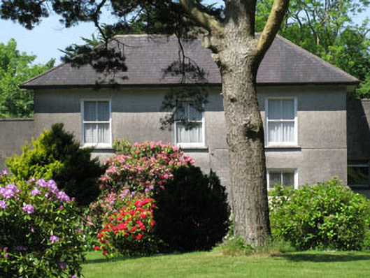 Knockmore Househouse · 713 yd
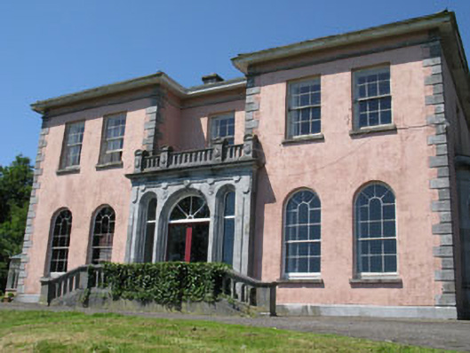 Ravenswoodhouse · 847 yd
 Ballea CastleCastle, tower house · 1269 yd
 Cogan's CastleCastle · 1.5 mi
 Pauper's GraveyardArchaeological place · 2.0 mi
 Graveyard in CurraghconwayGraveyard · 3.9 mi
 Be Framed Fine Art GalleryGallery · 4.0 mi
 Goat IslandIslet · 4.2 mi
 Vernon Mount ViewViewpoint · 4.4 mi
 City View SummitViewpoint · 4.5 mi