What is recorded here
Situated on a low rise, in low-lying pasture, on the E floodplain of the River Shannon. Depicted on the revised 1910 ed. OS 25-inch map as an oval-shaped earthwork (approx. dims. 78m NW-SE; 42m NE-SW). Levelled monument described in 1973 as a fairly large oval-shaped area defined by a low, irregular scarp. There is no trace of an enclosing bank or external fosse. The interior is generally even and is partly overgrown with bushes. Monument is visible as an oval-shaped tree-planted earthwork on OSi aerial photography. According to local information, the monument is often completely surrounded by water, as seen on Digital Globe aerial photography. A stone which is locally believed to be the inauguration stone (WM029-032001-) of the O'Brien clan is located close to NW, on the bank of the River Shannon.
Compiled by Alison McQueen, Vera Rahilly and Caimin O’Brien.
Date of upload: 07 November 2019
This remains an important historical record, but the official description says the monument is no longer visible or has been destroyed. The monument record does not grant public access. Check the route and ask the landowner before entering private land.
- What survives
- No visible remains or recorded as destroyed
Places near here
 Inauguration site in CarrickobreenInauguration site · 101 yd
 Wren's IslandIslet · 477 yd
 Brides WellHoly well · 1.5 mi
 Cloonbonny Househouse · 1.5 mi
 Cloonbonny Bridgebridge · 1.6 mi
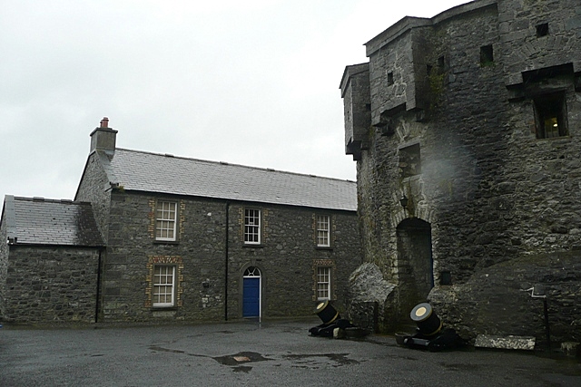 CastleCastle, unclassified · 1.7 mi
 Long IslandIsland · 1.7 mi
 Athlone Music MuseumMuseum · 1.8 mi
 Bastion GalleryGallery · 1.8 mi
 Castle O'BrienCastle · 1.8 mi
 1916 Centenery CommemorationMemorial · 1.8 mi
 Historic Town - Athlone Castle & Church of St Peter and PaulVisitor information · 1.8 mi