What is recorded here
Fairy fort in Carrickmakeegan, County Leitrim: a small earthen ringfort on a pasture rise overlooking Garadice Lough, mapped as a fort in 1835 and measured as a D-shaped platform in 1949, though its bank has largely vanished from ground level. It may have been a rath used by people who lived near the lough, kept livestock, or marked a boundary between fields. The fairies in its name suggest that later locals saw the abandoned shape as belonging to something older, cleverer, and less willing to be measured.
Located in pasture on a rise overlooking the SW shore of Garadice Lough, which is c. 400m to the NE. It is depicted faintly as a small oval enclosure (dims c. 20m N-S; c. 12m E-W) described as a 'fort' on the 1835 edition of the OS 6-inch map and as a D-shaped hachured area on the 1944 revised edition. It was described in 1949 as a D-shaped platform (dims c. 29m E-W; c. 25m N-S) defined by a scarp (H c. 0.8m) and truncated by a field bank at S (OSFM). It is not visible now at ground level, but it was probably a rath.
The above description is derived from 'The Archaeological Inventory of County Leitrim' compiled by Michael J. Moore (Dublin: Stationery Office, 2003). In certain instances the entries have been revised and updated in the light of recent research.
Date of upload/revision: 15 December 2011
The monument record does not grant public access. Check the route and ask the landowner before entering private land.
- What survives
- Recorded monument
Places near here
 Enclosure in CarrickmakeeganEnclosure · 670 yd
 IndicatedHilltop enclosure · 1706 yd
 Swan Island pet farmHeritage attraction · 1.1 mi
 Church (in Ruins)Church · 1.2 mi
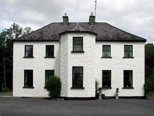 Corduff Househouse · 1.7 mi
 Bawn in Cherry IslandBawn · 1.8 mi
 Cherry IslandIslet · 1.8 mi
 BatteryBawn · 1.8 mi
 Crane IslandIslet · 1.9 mi
 Black PoplarBlack Poplar · 2.6 mi
 DerrynigginMountain / peak · 3.1 mi
 Cornagunleog ForestForest · 3.4 mi