What is recorded here
On a shelf of level ground on a W-facing slope. A report in 1976 (SMR file) recorded a raised oval area (c. 52m N-S; c. 39m E-W) enclosed by a substantial bank of earth and stone with an external fosse. A break in the bank at ESE may have marked the original entrance. It was levelled c. 1990 (local information) and is not visible at ground level.
Compiled by: Patrick F. O'Donovan
Date of upload: 26 August 2011
The monument record does not grant public access. Check the route and ask the landowner before entering private land.
- What survives
- Recorded monument
Places near here
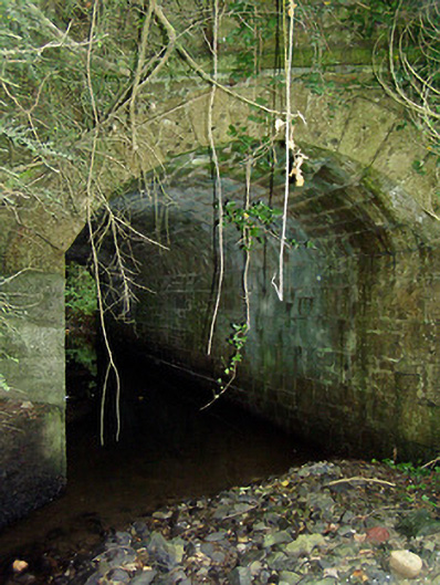 bridgebridge · 1501 yd
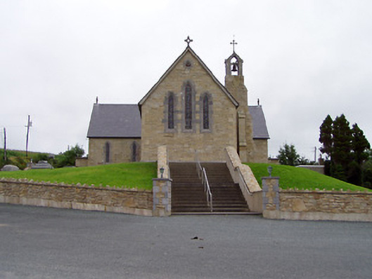 Saint Mary's Catholic Churchchurch/chapel · 1.1 mi
 Crannog in CorrinaghCrannog · 1.4 mi
 Portal tomb in BirrinaghPortal tomb · 1.9 mi
 CastleBawn · 2.2 mi
 Ballinamuck Bog LoopWalking route · 2.4 mi
 North Midland Transport CollectionMuseum · 3.0 mi
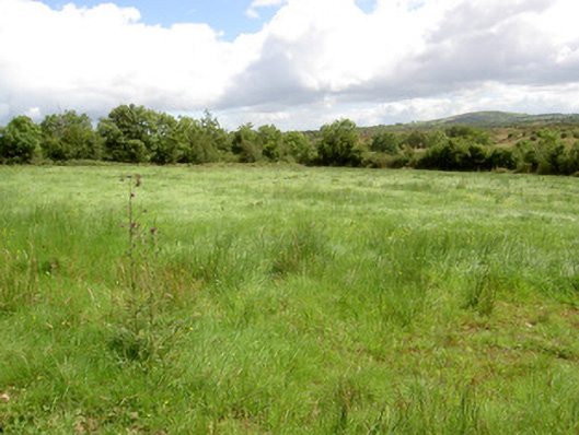 battlefieldbattlefield · 3.2 mi
 White IslandIslet · 3.3 mi
 Arnaghan SouthMountain / peak · 3.3 mi
 Battle of BallinamuckMajor battlefield · 3.4 mi
 Arnaghan NorthMountain / peak · 3.4 mi