What is recorded here
Fairy fort / earthen ringfort in Carrickconeen is a fairy fort or earthen ringfort in Carrickconeen, County Tipperary, Ireland. It occupies a roughly circular area 32.9 metres north-south and 34.1 metres east-west on an east-facing slope just off a hill crest. An earthen and stone bank 2.1 metres wide at the crest and 5.7 metres wide at the base encloses the interior, while an external ditch 3.2 metres wide and 0.66 metres deep runs outside it. Quarrying has removed the bank in the north quadrant and cut into the southwest quadrant, but the northeast quadrant still shows a narrower bank 1.6 metres wide at the crest with no visible external ditch.
Just off the crest of a hill on an E-facing slope, in undulating terrain, under pasture. Roughly circular area (diam. 32.9m N-S; 34.1m E-W) enclosed by an earthen and stone bank (Wth 2.1m crest, 5.7m base; int. H 1.12m; ext. H 1.63m) and external fosse (Wth 3.2m; D 0.66m). The monument is grass-covered with only limited bramble growth on the bank in the SW quadrant. The interior slopes gently to the E. There is a small quarry immediately E of the ringfort and some quarrying into the bank in the SW quadrant has taken place. There is a pronounced fosse on the upslope, W side, which may be the result of quarrying activity. The bank in the N quadrant has been removed, quarried out. In the NE quadrant there is no evidence of an external fosse or bank disturbance (Wth 1.6m crest, 2.2m base; int. H 0.3m; ext. H 0.85m). There is no definable entrance, though it may have been damaged by quarrying activity.
Compiled by: Jean Farrelly
Date of upload: 21 January 2014
This remains an important historical record, but the official description says the monument is no longer visible or has been destroyed. The monument record does not grant public access. Check the route and ask the landowner before entering private land.
- What survives
- No visible remains or recorded as destroyed
Places near here
 Enclosure in Kilmolash LowerEnclosure · 366 yd
 Man-made underground passage in GarryntempleMan-made underground passage · 1230 yd
 Nicholastown Castle (in ruins)Castle, tower house · 1.1 mi
 Derrygrath Church (in ruins)Church · 1.3 mi
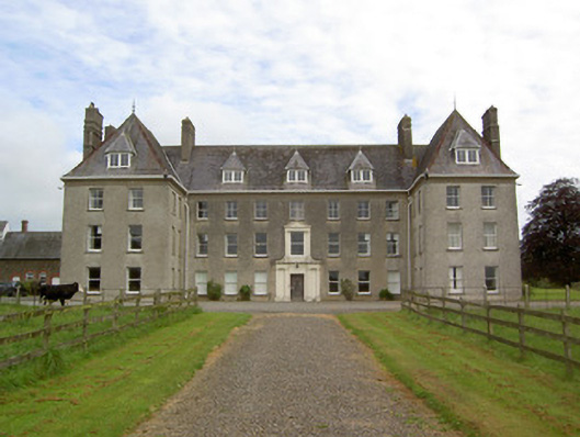 Barne Parkcountry house · 1.6 mi
 DeerparkWood · 1.8 mi
 Marlfield Forest Recreation AreaWood · 1.8 mi
 Moorstown CastleCastle, tower house · 1.9 mi
 Grubb's IslandIslet · 4.3 mi
 Merchant's HouseVisitor information · 4.4 mi
 Streches IslandIsland · 4.4 mi
 Francis HopkinsMemorial · 4.4 mi