What is recorded here
Fairy forts are human inventions, not supernatural ones. They are ancient field boundaries, burial markers, or tribal boundaries dressed in mystery. The real wonder is that people still believe walls must hide spirits when they often hide power.
The following description is derived from both the published 'Archaeological Inventory of County Louth' (Dublin: Stationery Office, 1986) and the 'Archaeological Survey of County Louth' (Dublin: Stationery Office, 1991). In certain instances the entries have been revised and updated in the light of recent research.
Date of upload/revision: 17 July 2007
Oval area (int. dims. 58m NE-SW, 41.5m NW-SE) enclosed by much-degraded earthen bank (c. Wth 5m, H 1.8m externally) now almost levelled to the interior with possible entrance gap (Wth 2m) at WNW. External drystone masonry facing on the bank suggests that the bank has been incorporated in the modern field system. No visible trace of fosse. Interior of site badly disturbed by cultivation ridges.
This remains an important historical record, but the official description says the monument is no longer visible or has been destroyed. The monument record does not grant public access. Check the route and ask the landowner before entering private land.
- What survives
- No visible remains or recorded as destroyed
Places near here
 Man-made underground passage in CarrickavallanMan-made underground passage · 162 yd
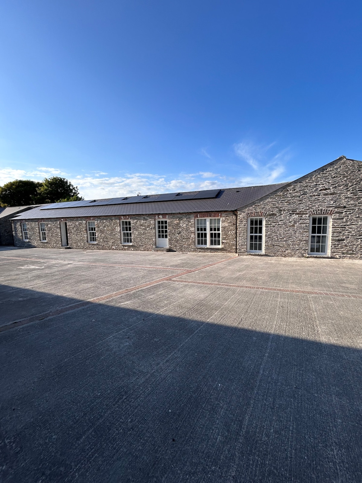 Enclosure in TullygowanEnclosure · 927 yd
 mill (water)mill (water) · 1694 yd
 CastleCastle, motte and bailey · 1.0 mi
 Flat cemetery in AnnaheanFlat cemetery · 1.3 mi
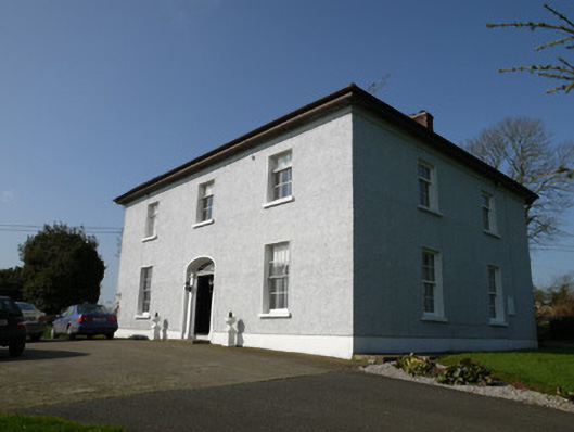 Annahean Househouse · 1.4 mi
 Lagan castleCastle, tower house · 2.4 mi
:no_upscale()/cdn.vox-cdn.com/uploads/chorus_asset/file/25593391/County_Louth_6th.jpg) LouthMountain / peak · 4.2 mi
LouthMountain / peak · 4.2 mi Matthew's HillMountain / peak · 4.3 mi
 Long PlantationForest · 4.3 mi
 Monkey-puzzleMonkey-puzzle · 4.5 mi
 Photo GalleryHeritage attraction · 10 mi