What is recorded here
Fairy forts are no such thing. They are human homes, farms, forts and burial places from before written records. What people called magical was often simply older than memory.
Located on top of a drumlin. McCrea’s Map of County Monaghan (1793) shows an earthwork enclosure on top of a hill at Carrickaslane, but it is not depicted on any other map. No archaeological feature is visible on any aerial images and its precise classification is not known, but it is likely to be a rath. Its precise location is also not known.
The above description is derived from the published 'Archaeological Inventory of County Monaghan' (Dublin: Stationery Office, 1986). In certain instances the entries have been revised and updated in the light of recent research.
Revised by: Michael Moore
Date of revision: 22 June 2018
The monument record does not grant public access. Check the route and ask the landowner before entering private land.
- What survives
- Recorded monument
Places near here
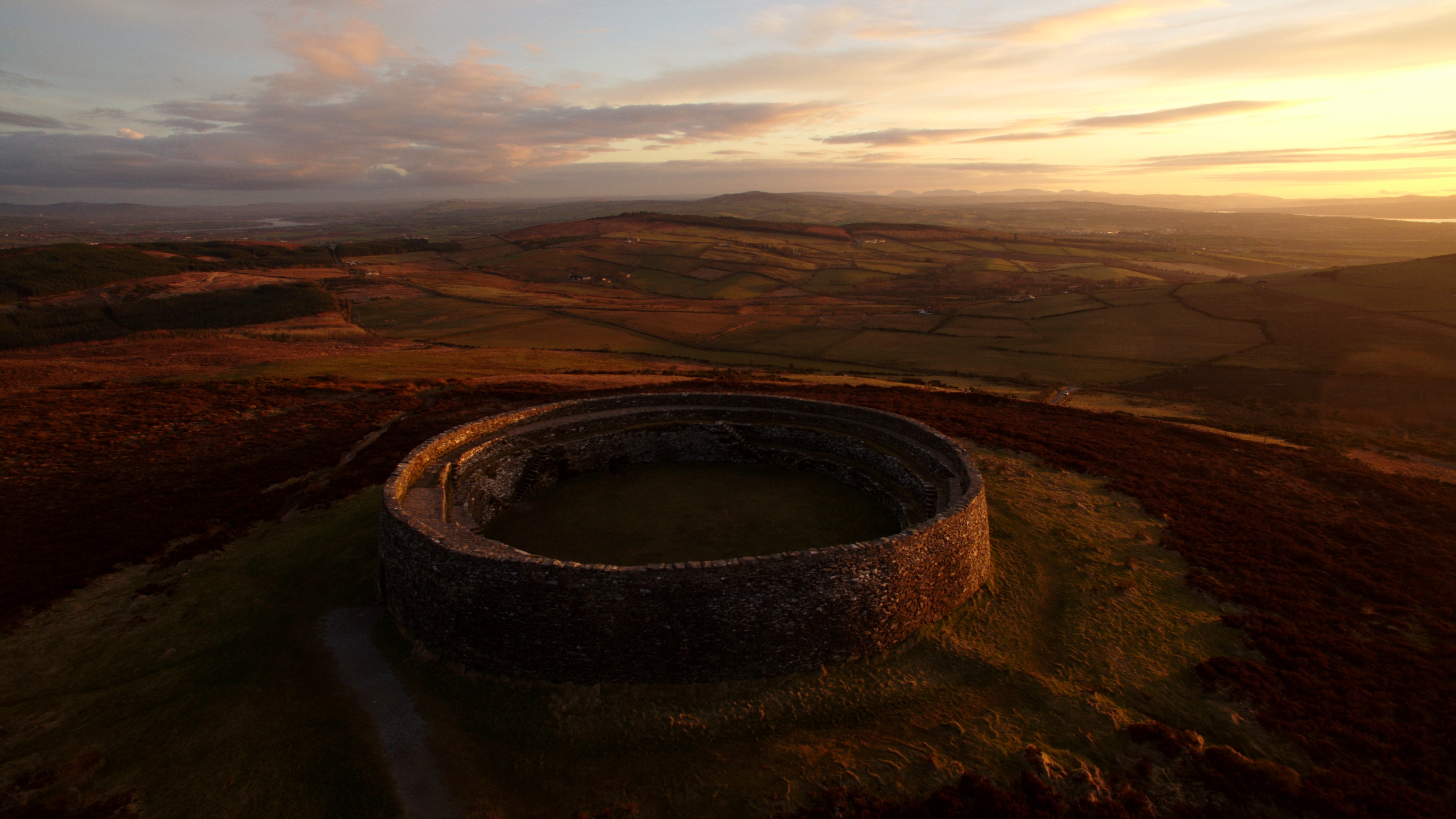 Lisnagreeve fortFairy fort / earthen ringfort · 1272 yd
 Church in CroaghanChurch · 1428 yd
 mill (water)mill (water) · 1445 yd
 Giants GraveMegalithic tomb · 1.0 mi
 Monaghan WayWalking route · 2.3 mi
 John Francis GreenMemorial · 2.8 mi
 The CrescentMemorial · 3.2 mi
 Harper's IslandIslet · 3.4 mi
 Blaney CastleCastle · 3.5 mi
 Bawn in OnomyBawn · 3.5 mi
 Garmany's IslandIslet · 3.5 mi
 Mullyash MountainMountain / peak · 3.8 mi