What is recorded here
Fairy fort in Carrickadorrish stood as a substantial earthen bank with an external fosse on a slight rise in County Longford pasture. The causewayed gap at the northwest marked the original entrance, while vague cultivation ridges inside suggested human life within the circular enclosure. Farmers levelled the fort in 1990, erasing the visible boundary between the ordinary field and the fairy realm. What remains is absence itself, a smooth patch of grass where the trickster wall once stood, waiting for someone reckless enough to build upon forgotten fairy ground.
On a slight rise in gently undulating hilly pasture land. Depicted as a circular enclosure with the designation 'Fort' on the 1837 ed. of the OS 6-inch map. Described in 1976 (SMR file) as small subcircular enclosure defined by a substantial earthen bank with an external fosse. A number of gaps were visible in the bank but a causewayed one at NW appeared to mark the original entrance. Vague traces of cultivation ridges were evident within the interior. The monument was levelled in 1990 and is not visible at ground level.
Compiled by: Patrick F. O'Donovan
Date of upload: 14 November 2012
The monument record does not grant public access. Check the route and ask the landowner before entering private land.
- What survives
- Recorded monument
Places near here
 Sonnagh fortArchaeological place · 1056 yd
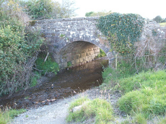 bridgebridge · 1717 yd
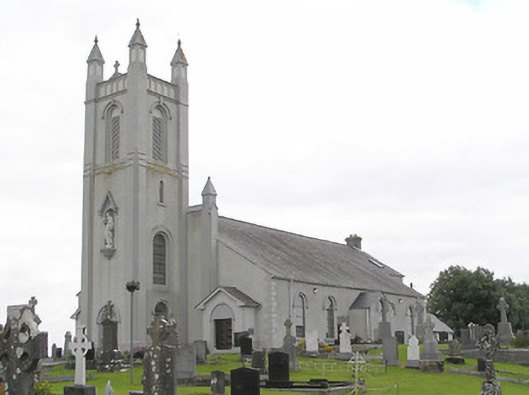 Saint Colmcille's Catholic Churchchurch/chapel · 1.1 mi
 Portal tomb in AghnacliffPortal tomb · 1.2 mi
 InchmoreIslet · 2.1 mi
 Mulrick WoodlandForest · 2.9 mi
 Derrycassan WoodsWood · 3.0 mi
 Ballinamuck Bog LoopWalking route · 3.0 mi
 Arnaghan SouthMountain / peak · 3.1 mi
 BawnBawn · 3.6 mi
 Arnaghan NorthMountain / peak · 3.8 mi
 Cloone Ho.Castle, unclassified · 3.9 mi