What is recorded here
Mortons and others built a round fortress on that slope, likely holding livestock or people during turbulent centuries. They cut a ditch, raised an earth bank and dug a beehive chamber beneath the ground. Collapse and forgetting buried the chamber, but the ring remains visible beneath vegetation and spoil. The fort is no longer a home or fortress for the living. It is a marker of human effort, waiting for recognition rather than explanation.
Situated on a SE-facing slope. This is an overgrown area (diam. c. 35m) obscured by spoil which is defined by a scarp (at S: H 1.6m) and an outer fosse (at S: Wth of base 3.2m; ext. D 0.4m). The perimeter is cut by a NE-SW field bank at N. Inside the perimeter at SW is the collapsed roof (dims of opening 1.5m x 1.2m) of the beehive chamber of a Man-made underground passage, which is filled with stones.
The above description is derived from the published 'Archaeological Inventory of County Meath' (Dublin: Stationery Office, 1987). In certain instances the entries have been revised and updated in the light of recent research.
Compiled by: Michael Moore
Date of revision: 26 February 2019
The monument record does not grant public access. Check the route and ask the landowner before entering private land.
- What survives
- Recorded monument
Places near here
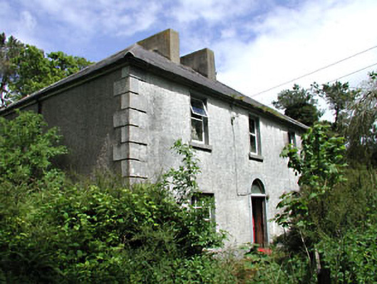 Carrick Viewfarm house · 1486 yd
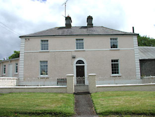 Hill Househouse · 1632 yd
 Ecclesiastical enclosure in KilskeerEcclesiastical enclosure · 1.2 mi
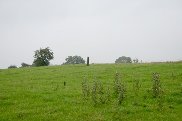 Standing stone in Balnagon UpperStanding stone · 1.2 mi
 Round TowerCastle, tower house · 1.2 mi
 Sylvan Park WoodsForest · 1.3 mi
 Bog WoodsForest · 1.6 mi
 CloncatMountain / peak · 2.7 mi
 Balgree MoteCastle, motte · 2.9 mi
 Drewstown LittleMountain / peak · 3.6 mi
 BoglandMemorial · 3.7 mi
 The Kieran Flanagan WayMemorial · 4.2 mi