What is recorded here
Situated on top of a prominent natural rise in undulating grassland. A raised circular shaped area (approx. diam. 32m E-W) enclosed by two poorly preserved earthen banks separated by an intervening fosse with external fosse. The interior has been bisected by a field fence running NE-SW. The SE quadrant contains a wide shallow depression. A series of banks and scarps outside the inner bank appear to be related to the construction of post-1700 field fences.
See attached plan of monument surveyed and drawn by the ASI.
Compiled by: Frank Coyne and Caimin O'Brien
Date of upload: 28 April 2017
The monument record does not grant public access. Check the route and ask the landowner before entering private land.
- What survives
- Recorded monument
Places near here
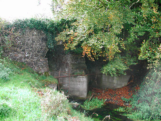 Snipe's Bridgebridge · 800 yd
 OutlinedFairy fort / earthen ringfort · 882 yd
 CastleCastle, unclassified · 1030 yd
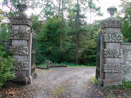 Ballinlough Castledemesne walls/gates/railings · 1.1 mi
 European YewEuropean Yew · 1.3 mi
 Persian WalnutPersian Walnut · 1.3 mi
 IndicatedFairy fort / earthen ringfort · 1.5 mi
 Clonarney Church (in Ruins)Castle, tower house · 1.5 mi
 Drewstown LittleMountain / peak · 3.6 mi
 Kells HillMountain / peak · 3.9 mi
 BoglandMemorial · 5.3 mi
 Zip WireHeritage attraction · 7.1 mi