What is recorded here
Apple trees still drop fruit into the broken ring at Carnowen, marking a boundary that human hands forgot long ago. The earth bank has thinned to a low scarp on the northwest side, while hedges consume the rest, hiding the entrance that once admitted residents or refugees. You can walk the circle in under a minute, but the forges and kitchens are gone, leaving only a grassy bowl where the land still remembers shape.
Situated on a NW-facing slope with a NE-SW stream c. 140m to the NW. This is a circular grass-covered area (diam. 29.5m NW-SE; 27m NE-SW) with apple trees defined by an earthen bank and a slight outer fosse E-WSW, but the bank is reduced to a scarp (at NW: Wth 1.4m; H 1.3m) and hedge elsewhere. The original entrance is not identified.
The above description is derived from the published 'Archaeological Inventory of County Monaghan' (Dublin: Stationery Office, 1986). In certain instances the entries have been revised and updated in the light of recent research.
Revised by: Michael Moore
Date of revision: 29 January 2018
The monument record does not grant public access. Check the route and ask the landowner before entering private land.
- What survives
- Recorded monument
Places near here
 CairnCairn, unclassified · 150 yd
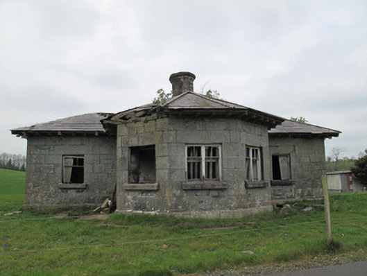 Templetate Locklock keeper's house · 612 yd
 Church in Templetate (dartree By., Clones Par.)Church · 653 yd
 CarnCairn, unclassified · 1301 yd
 Jaundice WellSpring · 1.4 mi
 Roosky Castle (Site of)Castle, ringwork · 1.5 mi
 Lisarrilly HillMountain / peak · 1.6 mi
 KillycoonaghWood · 3.1 mi
 Common LimeCommon Lime · 3.2 mi
 Saint John's WellSpring · 3.2 mi
 Rough HillMountain / peak · 3.3 mi
 Dagda's CauldronHeritage attraction · 4.8 mi