What is recorded here
Carnagarve holds a vanished ringfort on a drumlin ridge, visible only through memory rather than soil. That disappearance fits the fairy fort name, where human boundaries blur into trickster territory. The land may still remember the shape even when the surface has erased it.
Marked 'Fort' on OS 1836 ed. and 'Site of' on 1876 ed. Situated on a drumlin ridge. Not visible at ground level.
The above description is derived from the published 'Archaeological Inventory of County Cavan' (Dublin: Stationery Office, 1995). In certain instances the entries have been revised and updated in the light of recent research.
Date of upload/revision: 22 December 2008
A fairy fort or earthen ringfort in Carnagarve is a likely early-medieval circular earthwork, typically associated with habitation or ritual use. It is linked to local folklore surrounding fairies and other supernatural beings, common in Irish tradition.
The monument record does not grant public access. Check the route and ask the landowner before entering private land.
- What survives
- Recorded monument
Places near here
 CarnagarveMountain / peak · 626 yd
 Tullynaskeagh WestForest · 1149 yd
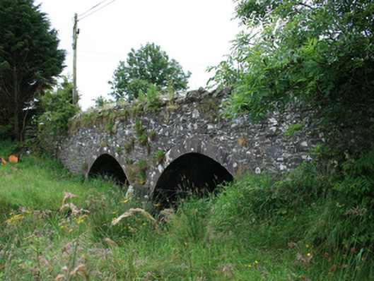 Wilton Bridgebridge · 1503 yd
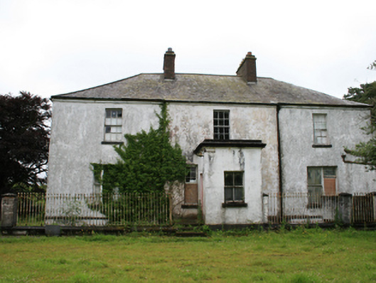 rectory/glebe/vicarage/curate's houserectory/glebe/vicarage/curate's house · 1.1 mi
 Tullynaskeagh EastForest · 1.2 mi
 CarnalynchMountain / peak · 1.2 mi
 MoatCastle, motte and bailey · 1.5 mi
 Grave YardGraveyard · 1.6 mi
 CastleCastle, motte · 1.8 mi
 Holy well in CrossbaneHoly well · 2.2 mi
 Birthplace of General Philip SheridanMemorial · 2.6 mi
 Brothers GravesVisitor information · 3.0 mi