What is recorded here
In 1842, a thirty-metre circular enclosure stood on a sun-warmed slope above White Bay in Carlislefort, its earth bank catching the light before Ploughmen or builders erased it. Power recorded in 1940 that both local lioses had been destroyed, leaving no stone or ridge for children to climb. The land keeps the shape only in memory now, a quiet wound where human hands took back what they had given to the field.
In pasture, on SE-facing slope, overlooking White Bay. Depicted as circular enclosure (diam. c. 30m) on 1842 OS 6-inch map. Levelled; according to Power (1940, 99) both 'lioses' in this townland 'have been destroyed'.
The above description is derived from the published 'Archaeological Inventory of County Cork. Volume 2: East and South Cork' (Dublin: Stationery Office, 1994). In certain instances the entries have been revised and updated in the light of recent research.
Date of upload/revision: 14 January 2009
The monument record does not grant public access. Check the route and ask the landowner before entering private land.
- What survives
- Recorded monument
Places near here
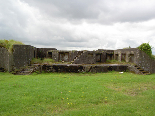 Fort Davisbattery · 395 yd
 Carlisle FortFortification · 583 yd
 Grave of Major Geoffrey Lee Compton-Smith, D.S.O.Memorial · 718 yd
 KilnKiln, corn-drying · 753 yd
 Long OrchardWood · 1604 yd
 Camden FortFortification · 1708 yd
 Castle (in Ruins)Castle, unclassified · 1.1 mi
 Trabolgan Holiday VillageHeritage attraction · 1.2 mi
 Roches PointHeadland · 1.2 mi
 Whitegate War MemorialMemorial · 1.3 mi
 Church Bay BeachBeach / strand · 1.5 mi
 Castle (Site of)Castle, unclassified · 1.7 mi