What is recorded here
Fairy fort in Carlislefort, County Cork: a small circular lios near the southeast angle of the townland, levelled by military authorities. It stood on a southeast-facing slope above White Bay, simple enough to miss and important enough to remove. In that region, even forgotten things become visible when power passes them by.
In pasture, on SE-facing slope, overlooking White Bay. Depicted as circular enclosure (diam. c. 30m) on 1842 OS 6-inch map. According to Power (1940, 98) 'there was formerly a small circular lios close to the S.E. angle of the townland but it was levelled by the military authorities'.
The above description is derived from the published 'Archaeological Inventory of County Cork. Volume 2: East and South Cork' (Dublin: Stationery Office, 1994). In certain instances the entries have been revised and updated in the light of recent research.
Date of upload/revision: 14 January 2009
A fairy fort or earthen ringfort in Carlislefort is a circular early-medieval defensive or agricultural enclosure, likely dating to between the 5th and 10th centuries. It is associated with local folklore surrounding fairies, as suggested by its name, and may have been a site of spiritual or ritual significance in pre-Christian times.
The monument record does not grant public access. Check the route and ask the landowner before entering private land.
- What survives
- Recorded monument
Places near here
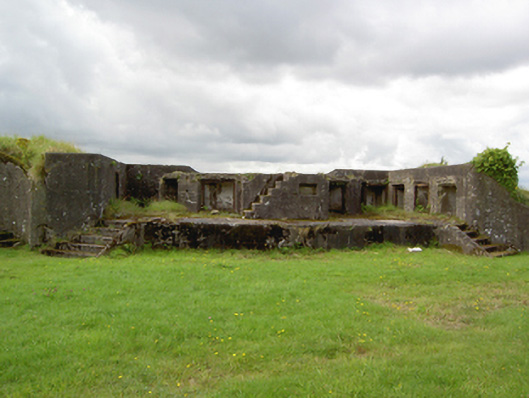 Fort Davisbattery · 376 yd
 Carlisle FortFortification · 536 yd
 Grave of Major Geoffrey Lee Compton-Smith, D.S.O.Memorial · 595 yd
 KilnKiln, corn-drying · 644 yd
 Long OrchardWood · 1531 yd
 Camden FortFortification · 1737 yd
 Castle (in Ruins)Castle, unclassified · 1.1 mi
 Trabolgan Holiday VillageHeritage attraction · 1.2 mi
 Whitegate War MemorialMemorial · 1.3 mi
 Roches PointHeadland · 1.3 mi
 Church Bay BeachBeach / strand · 1.6 mi
 Long PointHeadland · 1.7 mi