What is recorded here
No amount of knowledge can equal one hour in that place.
Situated on the coast, the view from the site is excellent in all directions. Although the site is marked on the 1841-42 OS map as a possible univallate rath, it does not appear on the later edition and no surface trace survives today.
The above description is derived from C. Toal, ‘North Kerry Archaeological Survey’. Dingle. Brandon in association with FAS Training and Employment Authority (1995), no. 177. In certain instances the entries have been revised and updated in the light of recent research.
Date of upload: 2 August 2013
The monument record does not grant public access. Check the route and ask the landowner before entering private land.
- What survives
- Recorded monument
Places near here
 Kilnaughtin Church (in ruins)Church · 1598 yd
 Ballymacrinan BayBay · 2.0 mi
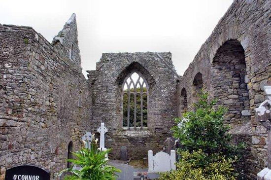 Enclosure in LislaughtinEnclosure · 2.2 mi
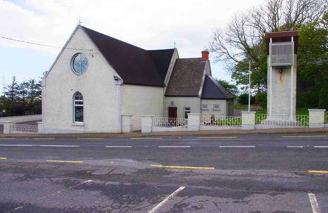 Saint Imy's Catholic Churchchurch/chapel · 2.3 mi
 Fulacht fia in CarhoonaFulacht fia · 2.3 mi
 Carrigafoyle CastleCastle · 2.8 mi
 Carrigafoyle Cas. (in ruins)Castle, tower house · 2.8 mi
 Siege of Carrigafoyle Castlesiege · 2.9 mi
 Carrig IslandIsland · 2.9 mi
 Tarbet BayBay · 3.1 mi
 St Senan's WellSpring · 3.5 mi
 Vandeleur Walled GardenHeritage attraction · 4.1 mi