What is recorded here
Cantogher holds a thirty-metre earthen ring where marsh water still ghosts the ditch. People called it a fairy fort because the field refused to explain itself, not because anyone saw a fairy. The bank rises two metres outside and collapses to forty centimetres inside, as if the place had been hollowed from within. Scrub chokes most of the circle now, but the ditch and outer lip remain sharp enough to mark where human hands last argued with the land.
In flat marshy pasture. Circular area (diam. 30m) enclosed by earthen bank (int. H 0.45m: ext. H 2.15m) with external fosse (D 1.6m; Wth 3m) SE->N, and with counterscarp earthen bank (ext. H 0.3m) SE->W and NW->NE. Enclosing element and parts of interior have been dug away N->SE. Most of enclosure is covered by scrub vegetation.
Compiled by: Denis Power
Date of upload: 26 August 2011
The monument record does not grant public access. Check the route and ask the landowner before entering private land.
- What survives
- Recorded monument
Places near here
 Cantogher Cottagehouse · 317 yd
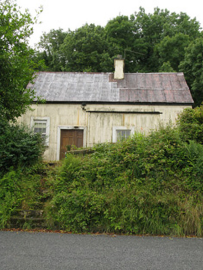 Cantogher Creamerycreamery · 1047 yd
 Grave YardGraveyard · 1281 yd
 Saint Ite's WellSpring · 1301 yd
 Dotted outlineBawn · 1478 yd
 Mass-rock in GortnaclohyMass-rock · 1613 yd
 Ballagh MountainMountain / peak · 1.0 mi
 Glenquin CastleCastle · 2.1 mi
 Mullaghareirk - Banane LoopWalking route · 4.3 mi
 Rock HillMountain / peak · 4.7 mi
 TobereenalaffinaSpring · 5.2 mi
 Limerick GreenwayWalking route · 6.6 mi